Alabama’s diverse landscape, ranging from the Appalachian foothills to the Gulf Coast, is well-served by a network of airports catering to commercial, general aviation, and military needs. A map of Alabama’s airports reveals a strategically distributed infrastructure designed to connect the state internally and to the wider world.
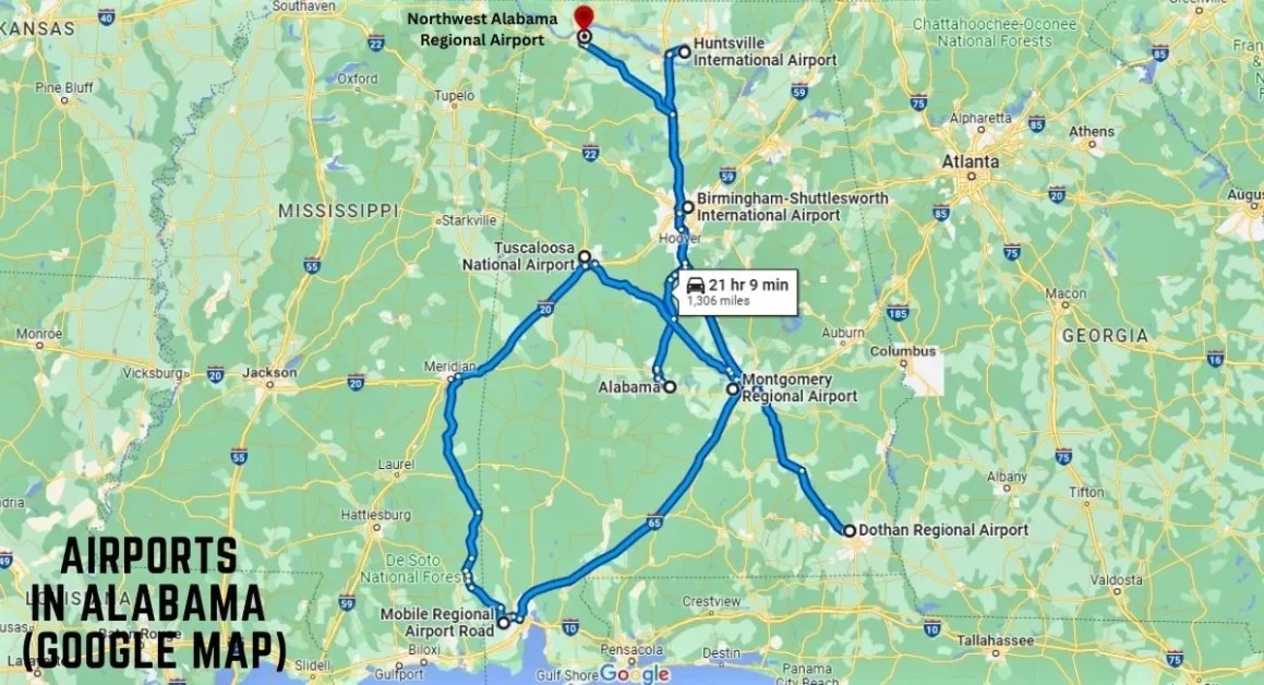
The state boasts several major commercial airports. Birmingham-Shuttlesworth International Airport (BHM), located in the state’s largest city, serves as a primary gateway for air travel in central Alabama. Its location provides easy access to business and leisure destinations. Huntsville International Airport (HSV), nestled in the northern part of the state, is crucial for the region’s burgeoning aerospace and technology industries, facilitating travel to and from NASA’s Marshall Space Flight Center and numerous defense contractors.
Further south, Mobile Regional Airport (MOB) offers connectivity to the Gulf Coast, supporting tourism and trade. While smaller than BHM or HSV, MOB provides vital access to the coastal region. Montgomery Regional Airport (MGM), serving the state capital, provides a regional hub for central Alabama and neighboring states. These commercial airports are key nodes in the national air travel network, offering connections to major hubs across the country and beyond.
Beyond the primary commercial hubs, Alabama features a network of regional and municipal airports that are essential for general aviation and local economies. These smaller airports, often denoted on the map with smaller icons, play a vital role in connecting smaller communities and supporting business travel, air cargo, and recreational flying. Cities like Dothan (DHN), Muscle Shoals (MSL), and Tuscaloosa (TCL) each have regional airports which are crucial links for their respective communities.
Military aviation is also significantly represented in Alabama. Maxwell Air Force Base (MXF) in Montgomery is a major Air Force installation and home to Air University. While not typically depicted on public aviation maps with the same level of detail as civilian airports, their presence significantly impacts the state’s aviation landscape.
Looking at a map, one would notice clusters of airports around major population centers and strategic locations. The density of airports near Huntsville reflects the region’s high-tech industry. The spread of smaller airports across the state ensures that even remote areas have access to air transportation, critical for emergency services, agricultural support, and business development.
The location of airports also considers the terrain and environmental factors. Runway orientations are designed to take advantage of prevailing winds, and airport construction adheres to environmental regulations to minimize impact on surrounding ecosystems. The map shows a careful balance between connectivity and responsible development.
In conclusion, the map of Alabama’s airports illustrates a complex and well-planned aviation infrastructure that supports the state’s economy, connects its communities, and facilitates a wide range of activities from commercial travel to military operations and general aviation. It’s a testament to the importance of air transport in a geographically diverse state.