The Ausable River, located in the Adirondack Mountains of New York State, boasts two main branches: the East Branch and the West Branch. Consequently, a map of the Ausable River is essentially a representation of these two major tributaries and their extensive network of smaller streams, lakes, and surrounding terrain.
Key Features Displayed on Maps:
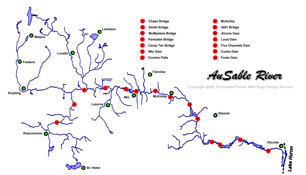
- River Course: The most prominent feature is, of course, the precise route of the East and West Branches. Maps detail their origins, meanders, and confluences. The East Branch generally flows from the southeast, originating near Dix Mountain, while the West Branch begins further west, near Lake Placid.
- Tributaries: Numerous smaller creeks and streams feed into the main branches. These tributaries are vital to the river’s ecosystem and are often named and labeled on detailed maps. Expect to see brooks like John’s Brook, Marcy Brook, and numerous unnamed waterways depicted.
- Elevation and Topography: Given the mountainous terrain, topographic maps are particularly useful. Contour lines illustrate changes in elevation, showing steep slopes, valleys, and the overall ruggedness of the landscape. Shaded relief maps are also helpful, providing a visual representation of the terrain.
- Lakes and Ponds: The Ausable River watershed contains various lakes and ponds. Maps typically identify larger water bodies such as Upper Ausable Lake and Lower Ausable Lake, as well as smaller ponds scattered throughout the area.
- Infrastructure: Roads, bridges, trails, dams, and settlements are usually marked on maps. These features are essential for navigation, access to recreational areas, and understanding the human impact on the river system. Maps may also show locations of campgrounds, fishing access points, and hiking trailheads.
- Land Use and Cover: Maps sometimes indicate land use, such as forested areas, wetlands, agricultural land, and urban areas. This information provides context for understanding the river’s water quality and overall health.
Types of Maps Available:
- Topographic Maps: Offered by the USGS (United States Geological Survey), these maps are invaluable for showing elevation and detailed terrain.
- Recreational Maps: Focus on features of interest to hikers, anglers, and paddlers. They often highlight trails, campsites, fishing spots, and put-in/take-out locations for canoes and kayaks.
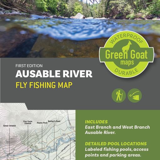
- Fishing Maps: Specifically designed for anglers, these maps may include information on fish species, stocking locations, and access points.
- Online Interactive Maps: Websites like Google Maps and specialized mapping platforms provide interactive maps of the Ausable River, often with satellite imagery and customizable layers.
Uses of an Ausable River Map:
- Navigation: For hikers, paddlers, and anglers, maps are essential for navigating the river and surrounding trails.
- Planning: Maps help plan outdoor activities, such as hiking routes, fishing trips, or paddling expeditions.
- Conservation: Scientists and conservationists use maps to study the river’s ecosystem, monitor water quality, and develop strategies for protecting the watershed.
- Education: Maps are valuable tools for learning about the geography, ecology, and history of the Ausable River region.
Ultimately, a comprehensive map of the Ausable River provides a vital resource for anyone interested in exploring, understanding, or protecting this significant Adirondack waterway.