
A map of 1930 offers a fascinating, and often unsettling, snapshot of a world poised on the edge of dramatic upheaval. It’s a cartographic time capsule, revealing political realities, colonial empires, and nascent global trends that would soon be tested by economic depression and the looming specter of war.
Political Landscape: Empires and Emerging Nations
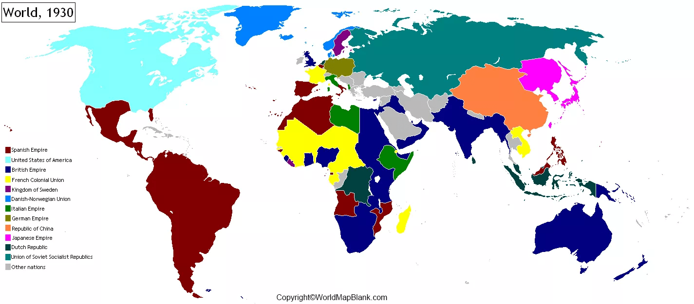
One of the most striking features of a 1930 map is the vast expanse of colonial territories. The British Empire, at its zenith, dominates the map, stretching across vast swathes of Africa, Asia, and Oceania. France’s colonial holdings, while smaller, still represent a significant presence, particularly in North and West Africa and Indochina. Other European powers, including Belgium (Congo), Portugal (Angola, Mozambique), and the Netherlands (Dutch East Indies), also maintain significant colonial possessions, reflecting a world order predicated on European dominance.
Alongside these empires, the map also highlights the emergence of new nation-states. The Treaty of Versailles, signed after World War I, redrew the map of Europe, creating countries like Poland, Czechoslovakia, and Yugoslavia from the remnants of older empires. The Soviet Union, established after the Russian Revolution, presents a starkly different political and ideological landscape, covering a massive territory across Eastern Europe and Asia. The United States, though not a colonial power in the traditional sense, exerts considerable economic and political influence, foreshadowing its future role as a global superpower.
Geopolitical Hotspots and Areas of Tension
Examining the map closely reveals several areas of geopolitical tension. The political boundaries of Eastern Europe, newly drawn after the war, remained contested and unstable. In Asia, Japan’s growing military power and expansionist ambitions were becoming increasingly evident, setting the stage for future conflicts. The rise of nationalist movements in various colonial territories, such as India and Southeast Asia, signaled a growing challenge to European dominance. The map subtly hints at the simmering conflicts that would eventually erupt into World War II.
Transportation and Infrastructure
The map also reflects the state of transportation and infrastructure in 1930. Major railway lines and shipping routes are often prominently displayed, highlighting the importance of these networks for trade and communication. The development of air travel, still in its early stages, is beginning to make its mark, with nascent air routes connecting major cities. These transportation networks illustrate the growing interconnectedness of the world, even as political divisions remained deep.
A World on the Cusp
In conclusion, a map of 1930 is more than just a geographical representation; it is a historical document that offers invaluable insights into the political, economic, and social realities of a world on the cusp of profound change. It serves as a reminder of the empires that once dominated the globe, the emerging nations vying for independence, and the growing tensions that would soon plunge the world into another devastating conflict.
 1300×1071 map world stock photo alamy from www.alamy.com
 1500×1203 vintage map world original from www.etsy.com
 1350×1017 world political map mercator projections antico gallery from antico.gallery
 1024×1024 world map craiyon from www.craiyon.com
 3000×2292 world map from letstalksport.co.uk
 1024×765 world map reproduction maps web from mapsontheweb.zoom-maps.com
 1300×897 world map circa debera georgette from beverlieomissy.pages.dev
 3172×2102 world map ibwiki from ib.frath.net
 1300×963 map world united states map from wvcwinterswijk.nl
 1500×1129 map world map from deritszalkmaar.nl
 900×620 europe map shifting borders political tensions map from mapofudonthaniprovince.pages.dev
 1500×1068 world map digital printable pastel color image workbox from www.etsy.com
 1300×958 map europe wonderland knowledge from www.alamy.com
 1425×625 world map political map world printable world maps from printableworldmaps.net
 1000×654 world map printable digital vintage world map from www.etsy.com
 1500×987 large antique world map original etsy from www.etsy.com
 600×600 world map etsy from www.etsy.com
 3048×2376 map europe world war german victory mimicthatthing from www.deviantart.com
 3840×2160 wallpaper world map flags countries uhd picture from best-wallpaper.net
 1300×929 map germany poland czechoslovakia stock photo alamy from www.alamy.com
 1300×1063 antique world map original map vintageinclination from etsy.com
 1300×1059 vintage map world british commonwealth stock photo alamy from www.alamy.com
 300×205 historical world map collection photo prints gifts from www.mediastorehouse.com
 644×440 textbook map circa late stock photo royalty freeimages from www.freeimages.com
 570×552 world map antique map world flags transport etsy from www.pinterest.co.uk
 1000×1224 antique world map original map world from www.etsy.com
 1500×1119 map world antique map beautiful color from www.etsy.com
 570×414 antique world map original map world atlas from www.etsy.com