
The map of Europe in 1950 paints a stark picture of a continent deeply scarred by World War II and emerging into the new era of the Cold War. The immediate postwar years had seen significant shifts in national borders, political allegiances, and ideological divisions. The war’s devastation had left much of the continent in ruins, both physically and economically.
One of the most prominent features of the 1950 European map was the clear division between East and West. The “Iron Curtain,” a term popularized by Winston Churchill, visually represented this ideological and physical barrier. The Soviet Union exerted considerable influence over Eastern European nations, which became satellite states under communist rule. These countries, including Poland, Czechoslovakia, Hungary, Romania, Bulgaria, and East Germany, formed the Eastern Bloc, aligned politically and economically with Moscow.
In contrast, Western Europe, largely aligned with the United States, followed a path of democratic governance and market economies. Countries like France, the United Kingdom, Italy, West Germany, and the Benelux nations formed the core of this bloc. The Marshall Plan, a massive American aid program, played a vital role in rebuilding Western Europe’s infrastructure and economy, further solidifying the division from the Soviet-controlled East.
Germany itself remained divided, a microcosm of the broader European divide. East Germany (German Democratic Republic) was under Soviet control, while West Germany (Federal Republic of Germany) was occupied by the Western Allies (United States, United Kingdom, and France). Berlin, located deep within East Germany, was similarly partitioned, becoming a focal point of Cold War tensions.
The map also shows the rise of international organizations aimed at fostering cooperation and preventing future conflicts. The North Atlantic Treaty Organization (NATO), formed in 1949, was a military alliance of Western nations designed to deter Soviet aggression. Simultaneously, efforts towards European integration were beginning, laying the groundwork for what would eventually become the European Union.
Neutral nations, such as Switzerland, Sweden, and Austria, maintained their independent status, navigating the complexities of the Cold War without aligning with either bloc. Yugoslavia, under the leadership of Josip Broz Tito, pursued a unique path of non-alignment, distancing itself from both the Soviet Union and the Western powers.
Examining a map of 1950 Europe offers a profound glimpse into a pivotal period in history. It reflects the immense changes wrought by World War II and the emerging Cold War order, shaping the political, economic, and social landscape of the continent for decades to come. The scars of the past and the seeds of future cooperation are both clearly visible, providing valuable context for understanding the Europe we know today.
 3370×2350 euratlas info europe from www.euratlas.net
 1840×1655 map europe xgeograd deviantart from www.deviantart.com
 2000×1592 vintage map europe from vintage.express
 7752×3497 map europe isla nawal from islanawal.pages.dev
 834×834 map europe marcus harvey from marcusharveys.pages.dev
 2994×2110 map europe map from deritszalkmaar.nl
 1200×1020 map europe retromaps from retromaps.bigcartel.com
 1040×768 detailed map europe cameron nunley deviantart from www.deviantart.com
 8103×5776 map europe united states map from www.wvcwinterswijk.nl
 720×598 europe political map circa wardmaps llc from wardmapsgifts.com
 794×640 blue map europe ready hang map beech tree wooden pull from www.pinterest.com
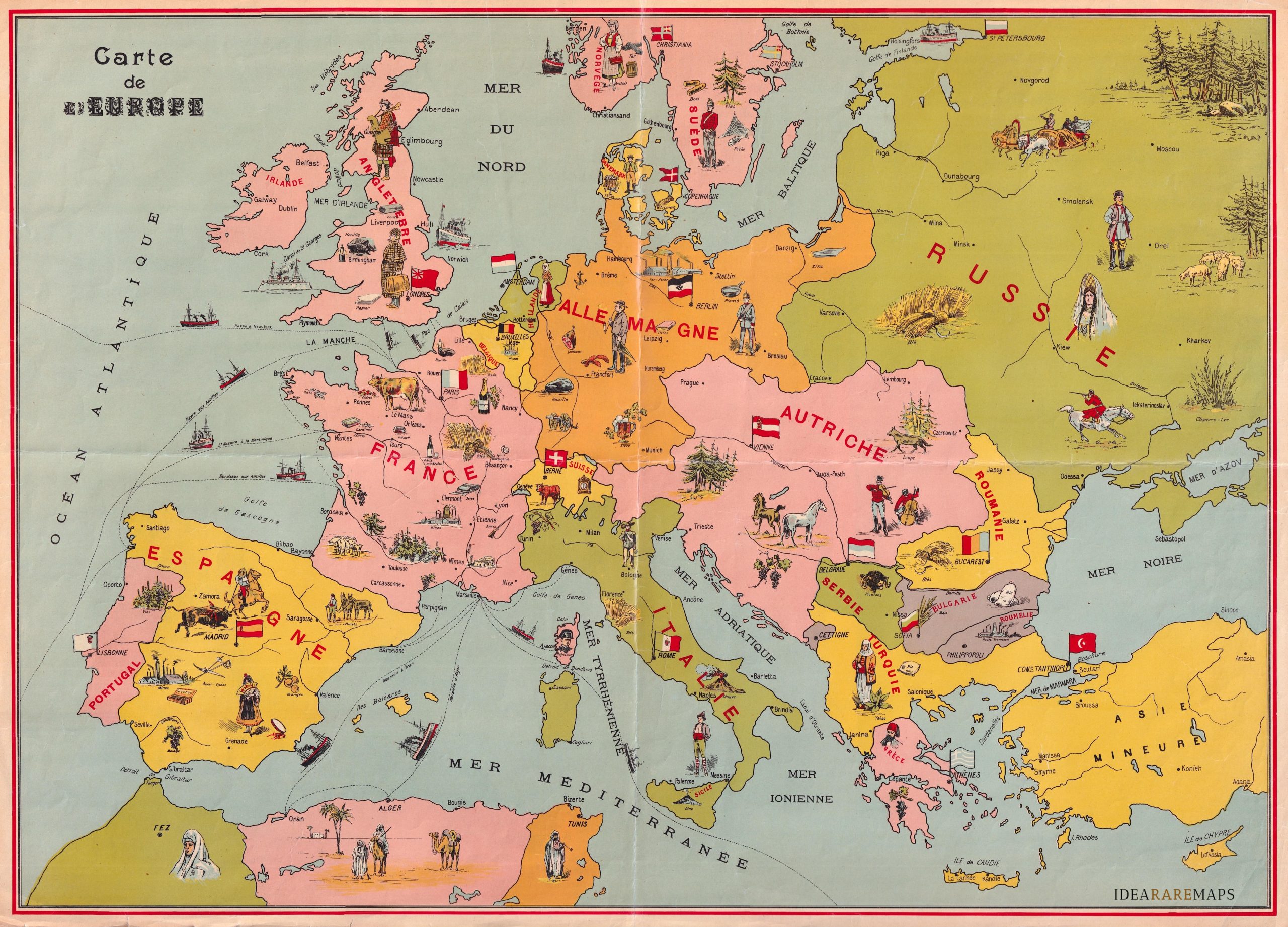 2560×1842 vintage pictorial map carte de leurope idea rare maps from www.ideararemaps.com
 2352×2004 europe scrolller from scrolller.com
 944×644 map europe ready hang beech tree wooden pull from www.canvaswallmaps.com.au
 1024×538 map europe usa map from usamapnew.blogspot.com
 794×747 vintage map europe showing territorial post etsy from www.etsy.com
 1200×900 political map europe retromaps from retromaps.bigcartel.com
 600×350 map europe oconto county plat map from ocontocountyplatmap.blogspot.com
 1500×1125 europe map europe dutch vintage poster europe from www.etsy.com
 1140×855 vintage europe map framing antique atlas maps junk etsy from www.etsy.com
 500×413 stunning map europe kaeppelin from retromaps.tumblr.com
 1588×1076 vintage map europe etsy from www.etsy.com
 570×481 europe map countries nations atlas antique map etsy from www.etsy.com
 340×270 europe map etsy from www.etsy.com
 1588×1191 europe map vintage cool map europe gallery wall etsy from www.etsy.com
 800×1015 western europe map mapscomcom from www.maps.com
 1024×659 map europe french reference surrendrdorothy from flickr.com
 640×879 faces europe time january map chapin jr from www.reddit.com