
Oklahoma, nestled in the heart of the United States, boasts a robust aviation network crucial for both commercial and private travel. A map highlighting Oklahoma’s airports reveals a comprehensive system connecting communities across the state and facilitating access to national and international destinations.
Oklahoma’s primary air hub is Will Rogers World Airport (OKC) in Oklahoma City. As a major commercial airport, OKC offers numerous daily flights to cities across the country via airlines like Southwest, American, Delta, and United. The airport features modern amenities, including multiple terminals, parking options, restaurants, and shops, catering to the needs of both domestic and international travelers. Its strategic location makes it a central point for travel within the Southern Plains.
Tulsa International Airport (TUL) serves as the second major commercial airport in Oklahoma. Located in Tulsa, TUL provides a significant number of flights to various U.S. cities. This airport also offers a range of services to passengers, including comfortable waiting areas, dining options, and car rental facilities. Its presence is essential for the economic activity of northeastern Oklahoma.
Beyond the primary hubs, Oklahoma’s airport map showcases a network of regional and municipal airports that support general aviation and smaller commercial operations. Examples include Lawton-Fort Sill Regional Airport (LAW), which provides commercial air service to Lawton and the surrounding area, connecting it to larger hubs. Smaller airports like Stillwater Regional Airport (SWO) and Enid Woodring Regional Airport (WDG) offer vital connections for local communities and businesses, serving as important entry points for visitors and residents alike.
The numerous smaller general aviation airports scattered throughout Oklahoma are crucial for private pilots, agricultural operations, and emergency services. These airports often provide fuel, maintenance, and hangar services, supporting a wide range of aviation activities. They play a key role in connecting rural communities and facilitating access to essential services, such as medical transport and disaster relief.
An airport map of Oklahoma also illustrates the importance of location relative to population centers and major industries. Airports located near industrial parks, universities, and tourism destinations contribute significantly to local economies by facilitating business travel, attracting tourism, and supporting the transportation of goods. For instance, airports near the oil and gas industry in western Oklahoma support the logistics and personnel movement associated with those operations.
Understanding the layout and capabilities of Oklahoma’s airport network is essential for businesses, travelers, and government agencies. By visually representing the location and type of airports across the state, an airport map provides valuable insights into the infrastructure that supports Oklahoma’s connectivity and economic growth. As Oklahoma continues to develop, its airport infrastructure will remain a critical component of its overall transportation system.
 3138×1601 airports from oklahoma.gov
  2560×1144 map airports oklahoma from ansvers.com
  800×516 airports oklahoma oklahoma airports map from www.mapsofworld.com
  1159×628 explore airports oklahoma city top airports from aviatechchannel.com
  450×337 map rogers world airport okc orientation maps okc from www.oklahoma-city-okc.airports-guides.com
  900×540 airports oklahoma from www.mymaps.com
  986×720 oklahoma airport map oklahoma airports from www.oklahoma-map.org
  474×368 oklahoma rogers world okc airport terminal map from www.ifly.com
  1600×1600 roads oklahoma from felt.com
  2000×2000 map oklahoma airports from fity.club
  1400×958 rogers world airport kokc okc airport guide from airportguide.com
  828×828 oklahoma city airport map guide okcs terminals from www.ifly.com
  2158×1322 oklahoma city airport terminal map allmaps preserving map from all-maps.com
  392×510 tulsa international airport map oklahoma from www.mapsofworld.com
  2526×1953 oklahoma city airport okc maps from www.airport.guide
 .png) 930×658 oklahoma city rogers world airport travel guide from www.worldtravelguide.net
930×658 oklahoma city rogers world airport travel guide from www.worldtravelguide.net  1710×1446 reference maps oklahoma usa nations project from www.nationsonline.org
  800×485 oklahoma state map state map oklahoma from www.mapsofworld.com
  2000×1160 oklahoma city map gis geography from gisgeography.com
  1600×1600 libraries city oklahoma city oklahoma from felt.com
  600×600 oklahoma city rogers world airport departures okc flight schedules from airportinfo.live
  730×457 list airports oklahoma countryaahcom from www.countryaah.com
  798×417 map oklahoma toursmapscom from toursmaps.com
  3620×2200 printable oklahoma map from templates.hilarious.edu.np
  800×607 map oklahoma cities oklahoma cities map from www.mapsofworld.com
  1412×1055 geographical map oklahoma oklahoma geographical maps from www.ezilon.com
  1350×850 oklahoma state maps usa maps oklahoma from ontheworldmap.com
  500×254 stillwater regional airport wikipedia from en.wikipedia.org
  1600×900 usa airports map plane flight tracker from www.planeflighttracker.com
 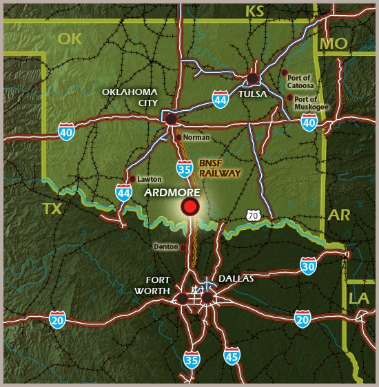 474×484 airports ardmore from ar.inspiredpencil.com