
A map of Alabama with a scale is an essential tool for anyone needing to understand the state’s geography, plan travel, or conduct research. The scale is a crucial element, representing the relationship between the distances on the map and the corresponding distances on the ground. Typically expressed as a ratio (e.g., 1:500,000) or a verbal statement (e.g., 1 inch equals 8 miles), the scale allows users to accurately estimate real-world distances.
Using a map of Alabama with a scale allows for practical applications. For instance, if you are planning a road trip from Huntsville in the north to Mobile in the south, you can use the scale to estimate the approximate driving distance. By measuring the distance between the two cities on the map and applying the scale, you can obtain a reasonable approximation of the actual mileage. This, in turn, helps you plan your fuel stops, estimate travel time, and book accommodations.
Different types of maps of Alabama will employ different scales. A small-scale map, such as one showing the entire state on a single page, might use a scale of 1:1,000,000 or smaller. This means that 1 unit of measurement on the map represents 1,000,000 of the same unit on the ground. These maps are useful for showing the overall layout of the state, major highways, and the relative locations of larger cities. However, they lack detail and are not suitable for pinpointing exact locations or measuring short distances accurately.
On the other hand, a large-scale map, such as a city map or a topographic map, will use a scale of 1:24,000 or larger. These maps provide much greater detail, showing individual streets, buildings, elevation contours, and other features. They are essential for navigating urban areas, hiking in state parks, or conducting detailed site surveys. These larger scale maps, although showing less area overall, provide significantly more granular geographic information.
When examining a map of Alabama, always locate the scale. It is typically found in the map legend, often accompanied by a graphic scale – a line divided into segments representing specific distances on the ground. Using a ruler or other measuring device, you can transfer measurements from the map to the graphic scale to determine the corresponding real-world distance.
Technological advancements have also impacted the use of maps. Online mapping platforms like Google Maps and ArcGIS offer interactive maps of Alabama with dynamically adjusting scales. As you zoom in or out, the scale automatically updates to reflect the level of detail being displayed. This provides a convenient and user-friendly way to explore the state’s geography at various scales.
In conclusion, a map of Alabama with a scale is a valuable tool for a wide range of purposes. Understanding the scale and its relationship to real-world distances is crucial for accurate map interpretation and effective navigation. Whether using a traditional paper map or a digital mapping platform, the scale remains a fundamental element in unlocking the geographic information contained within the map.
 1300×1546 alabama topographic map terrain map alaba state large scale from us-canad.com
  482×746 alabama topographic index maps al state usgs topo quads from www.yellowmaps.com
  1895×3000 pin products from www.pinterest.es
  1142×1600 alabama alabama state map showing counties antique plan chart from www.antiquemapsandprints.com
  725×1000 dotted map state alabama usa hexagons from stock.adobe.com
  1024×1024 scalablemaps vector map alabama gmap smaller scale map theme from scalablemaps.com
 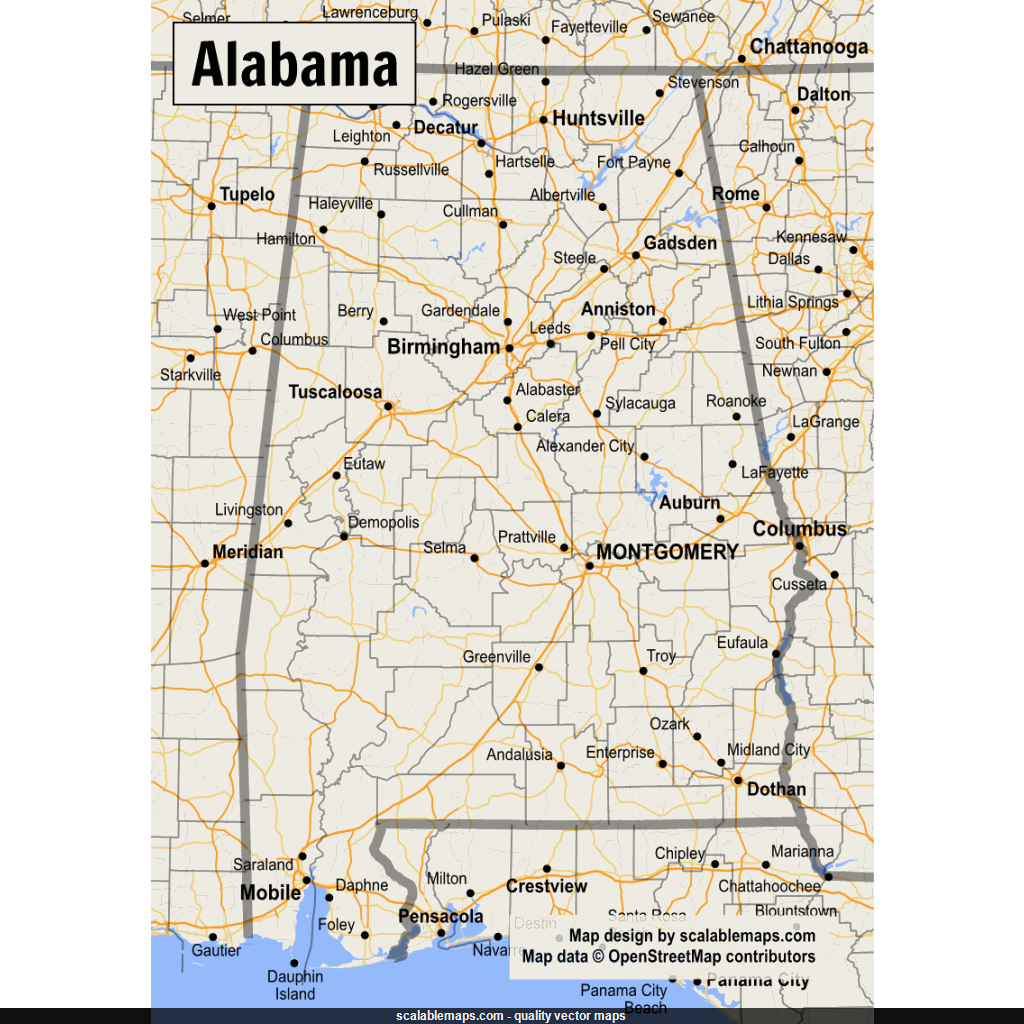 1024×1024 scalablemaps vector maps alabama from scalablemaps.com
  361×581 alabama labeled map large printable map alabama from www.pinterest.com
  1024×1353 alabama physical map showing geographical physical features from www.burningcompass.com
  866×1390 alabama map res stock photography images alamy from www.alamy.com
  1889×2559 alabama maps facts world atlas from www.worldatlas.com
  791×1024 alabama county map county map alabama cities from unitedstatesmaps.org
  1170×1422 alabama outline maps map links from www.netstate.com
  1300×1084 alabama state united states america grayscale elevation map from www.alamy.com
  1155×1820 colorful alabama wall map topographical physical features from www.outlookmaps.com
  1140×1709 poster sizes map alabama etsy from www.etsy.com
  1080×1669 large detailed roads highways map alabama state cities from www.maps-of-the-usa.com
  1300×821 shape alabama state mainland united states capital from www.alamy.com
  2400×2978 alabama large scale shaded relief wall map roller from www.maps.com
  1944×1554 maps alabama state usa nations project from www.nationsonline.org
  378×612 highly detailed editable political map separated layers alabama from www.istockphoto.com
  2000×3126 alabama map guide world from www.guideoftheworld.com
  2953×4724 map alabama alabama map al map map alabama printable maps images from www.tpsearchtool.com
  810×1340 filemap alabama terrain najpg wikimedia commons from commons.wikimedia.org
  1080×1586 physical map alabama meters adobe illustrator vector from www.etsy.com
  1640×2613 large detailed map alabama from ontheworldmap.com
  875×1390 detailed map alabama from ar.inspiredpencil.com
  1412×1062 detailed clear large road map alabama topography physical from www.ezilon.com
  1024×1024 alabama labeled map labeled maps from labeledmaps.com
  1900×2612 map alabama showing county citiesroad highwayscountiestowns from east-usa.com