
The Tiber River was the lifeblood of ancient Rome, profoundly shaping its geography, development, and destiny. A map illustrating Rome around 500 AD, during the late Roman Empire or early medieval period, would highlight the Tiber as its central feature.
The river snaked its way through the heart of the city, its meandering course defining the boundaries of key regions. Several prominent hills, crucial for Rome’s defense and early settlement, overlooked the Tiber. The Palatine Hill, traditionally considered the founding place of Rome, stood adjacent to the river’s bend. Other important hills like the Capitoline, Quirinal, and Aventine were strategically positioned in relation to the Tiber, offering natural fortifications and commanding views.
Numerous bridges spanned the Tiber, facilitating communication and commerce between different parts of the city. The Pons Fabricius, one of the oldest Roman bridges still standing, connected the Tiber Island to the mainland. Other notable bridges like the Pons Aelius (now Ponte Sant’Angelo), leading to Hadrian’s Mausoleum (now Castel Sant’Angelo), and the Pons Sublicius, significant in early Roman history, were vital arteries for the city’s transportation network.
The map would depict the Tiber’s banks lined with important structures. The Forum Boarium, the ancient cattle market, lay near the river’s edge, highlighting the Tiber’s role in trade and agriculture. Docks and harbors, such as the Emporium, bustled with activity, receiving goods from across the Roman Empire. Granaries and warehouses along the riverfront stored essential supplies for the city’s population.
The Campus Martius, a large open space north of the Capitoline Hill, extended towards the Tiber. Originally used for military exercises, the Campus Martius became a center for public life, featuring temples, theaters, and bath complexes, often drawing water from the Tiber or using it for drainage. The map might also show aqueducts, engineering marvels, delivering fresh water to the city, some of which crossed the Tiber River on elevated structures.
Beyond the city walls, the Tiber’s influence extended into the surrounding countryside. The map might illustrate the Ostian Way, a major road following the Tiber to Ostia, Rome’s port city at the river’s mouth. This connection was crucial for Rome’s access to the sea and for importing vital resources. Villas and agricultural estates dotted the landscape along the Tiber, relying on the river for irrigation and transportation.
The Tiber River wasn’t just a geographic feature; it was an integral part of Roman identity and culture. Its depiction on a map of ancient Rome in 500 AD serves as a powerful reminder of the river’s central role in the city’s rise, its enduring presence throughout Roman history, and its continued importance during the transitional period from the Roman Empire to the Middle Ages.
 638×479 ancient rome from www.slideshare.net
  479×500 map ancient rome tiber river from ansvers.com
  3600×2702 ancient rome map tiber river physical map ancient rome lazio italy from maps-rome.com
  229×220 tiber river ville de rome rome antique chateau saint ange from www.pinterest.com
  1600×891 sack rome alaric history class from onlinehistoryclass.blogspot.com
  1300×952 tiber river europe map from animalia-life.club
  1300×1088 world map rome from fity.club
  960×720 tiber river map europe from ar.inspiredpencil.com
  474×525 tiber river from www.thelatinlibrary.com
  1365×1024 tiber river map from ar.inspiredpencil.com
  960×720 tiber river map from ar.inspiredpencil.com
  960×720 europe map tiber river from ar.inspiredpencil.com
  768×540 rome map tiber from ar.inspiredpencil.com
  564×687 ancient roman empire map rivers from ar.inspiredpencil.com
  1601×1144 land hass ancient rome libguides ursula frayne catholic college from ursulafrayne.libguides.com
  1024×768 ancient rome powerpoint id from www.slideserve.com
  838×918 rome geography activity complete historys histories history from www.historyshistories.com
  452×453 tiber river central prosperity life ancient rome from brewminate.com
 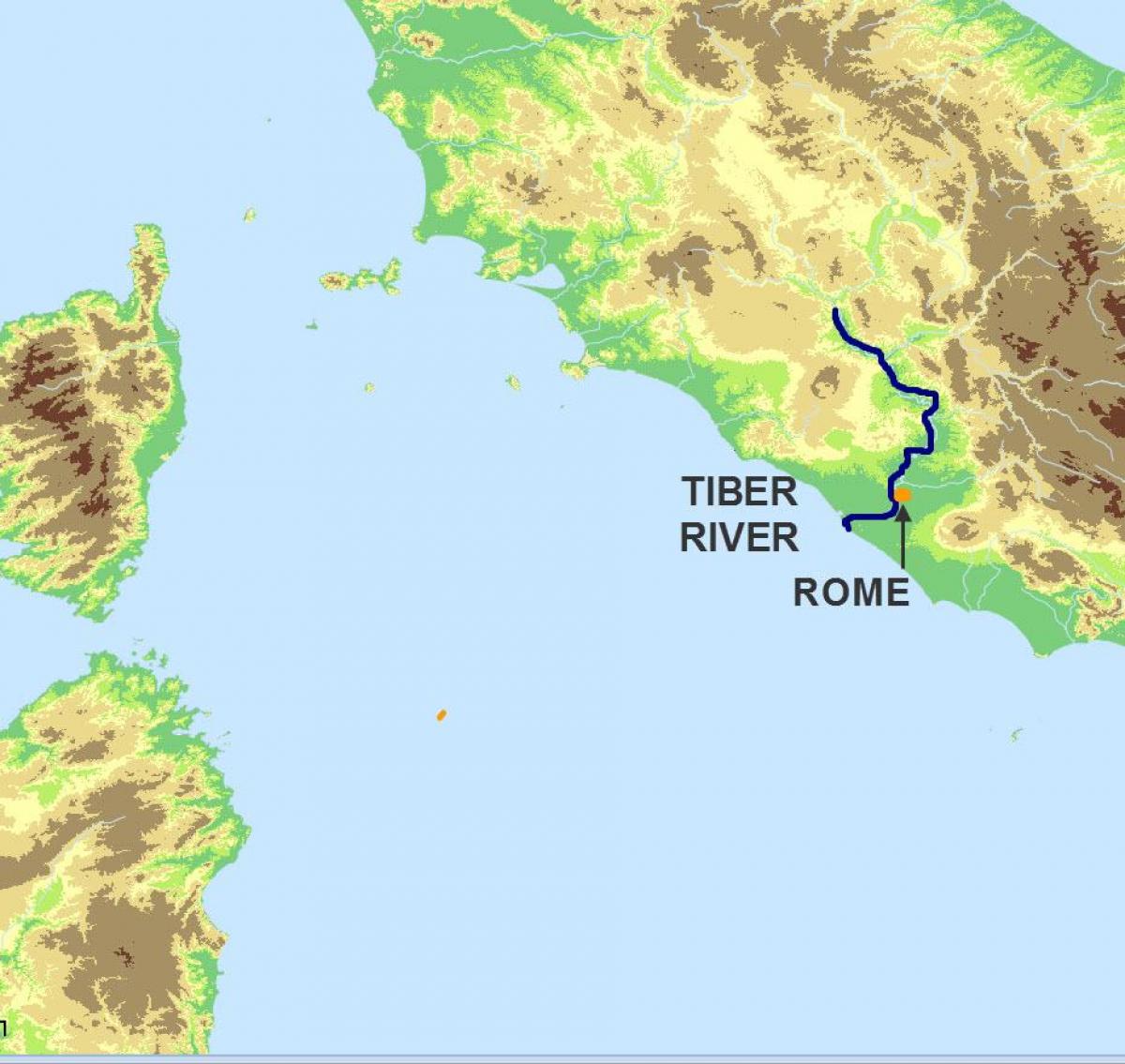 1200×1135 tiber map river tiber map lazio italy from maps-rome.com
  678×715 map ancient rome octavian rise power from octavianchronicles.com
  360×308 map europe tiber river from ar.inspiredpencil.com