
Celina, Texas, a rapidly growing city in Collin County, necessitates an understanding of its map for residents, businesses, and visitors alike. The city’s map reveals a blend of established residential areas, burgeoning commercial districts, and expansive undeveloped land that hints at future growth. Understanding the layout helps navigate the city effectively.
Key Features of the Celina Map
The central area of Celina is generally considered to be around the intersection of Preston Road (State Highway 289) and FM 455. This area houses many of the city’s historical buildings and serves as a focal point for community events.
Major Roads
- Preston Road (State Highway 289): A major north-south artery that bisects Celina. It provides access to Frisco and Plano to the south and connects to other Collin County cities to the north. This is the main thoroughfare, lined with businesses and restaurants.
- FM 455: Runs east-west through Celina, connecting to US 75 to the east and other rural areas to the west. This is another major traffic corridor.
- Outer Loop/Future Parkway: A planned outer loop is being developed to ease traffic congestion within Celina as growth continues. This will eventually provide an alternative route around the city core.
Residential Areas
Celina’s residential landscape is characterized by master-planned communities. These neighborhoods often feature amenities like parks, pools, and walking trails. Prominent residential areas are found north, south, and east of the city’s center. Many of these developments are relatively new, reflecting the recent population boom.
Commercial Areas
Commercial development is concentrated along Preston Road and FM 455, particularly near their intersection. These areas contain a mix of retail stores, restaurants, professional services, and grocery stores. Celina is actively working to expand its commercial base to serve its growing population.
Parks and Recreation
Celina boasts several parks and recreational areas. Old Celina Park is a popular spot, offering green spaces, playgrounds, and picnic areas. As the city develops, more parks and recreational facilities are planned within the new residential communities.
Future Development
A significant portion of Celina’s map depicts undeveloped land slated for future residential, commercial, and industrial development. The city’s comprehensive plan outlines the vision for this growth, indicating where new neighborhoods, business parks, and infrastructure will be located.
Using the Map Effectively
Whether using a physical map or an online mapping service, understanding these key features of Celina’s layout will enhance navigation and provide insights into the city’s ongoing transformation. Keep an eye out for ongoing road construction and updates as the city continues to evolve rapidly.
 3360×1705 world map political map world nations project from www.nationsonline.org
 4405×2649 buy world maps international political wall map mapworld from www.mapworld.com.au
 1390×1003 map world continents countries ezilon maps from www.ezilon.com
 474×325 world map wallpapers pictures images from www.hdwallpaper.nu
 2560×1470 world map countries gis geography from gisgeography.com
 1300×929 kort political world map bykort og verdenskort plakater pa vaeggen from www.europosters.dk
 4000×2487 world wall map greenwich time map shop ae from mungfali.com
 2200×1605 usa map maps united states america from ontheworldmap.com
 3000×2121 united states map road worldometer from www.worldometers.info
 1300×929 mapa detailed political world map mapas de ciudades mapas mundiales from www.posters.es
 2560×1600 photo globe atlas background clipart global globe from jooinn.com
 1127×2000 google maps bekommt diesem jahr viele neuerungen from stadt-bremerhaven.de
 461×549 google updates google maps highlight areas interest time from time.com
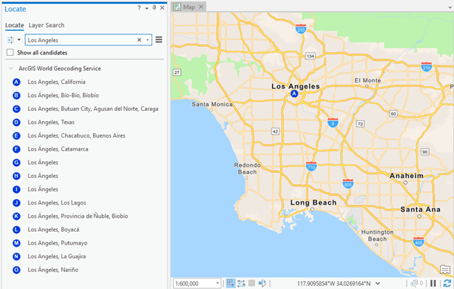 650×414 introduccion la busqueda de lugares en mapa arcgis pro documentacion from pro.arcgis.com
 1000×600 google maps android users share location from www.thehansindia.com
 800×465 digital maps railways roads daniel bowen from www.danielbowen.com
 400×400 map maps google from blushempo.blogspot.com
 1148×934 affiliated resources group arg contact from www.affiliatedresourcesgroup.com
 545×200 google loosens limits pricing maps api nieman journalism lab from www.niemanlab.org
 1140×867 google map wallpaper wallpapersafari from wallpapersafari.com
 326×192 world maps library complete resources google maps png from allmapslibrary.blogspot.com
 380×285 google map from bimalmedical.com