
The world map of 1950 presents a stark contrast to the geopolitical landscape of today. Recovering from the devastation of World War II, the globe was deeply divided, not only physically but also ideologically. The immediate aftermath saw the rise of two superpowers: the United States and the Soviet Union, setting the stage for the Cold War.
Europe lay fractured. The Iron Curtain, a term coined by Winston Churchill, had descended, cleaving the continent into Western and Eastern blocs. Western Europe, largely aligned with the United States through the Marshall Plan and burgeoning NATO alliance, began rebuilding under a capitalist framework. Countries like France, West Germany, and Italy started their journey toward economic recovery and integration. Eastern Europe, dominated by the Soviet Union, fell under communist control, becoming satellite states bound by the Warsaw Pact. This included countries like Poland, Czechoslovakia, Hungary, and Romania, their political and economic destinies dictated by Moscow.
Germany, the epicenter of the war, was partitioned into East and West, further symbolizing the Cold War divide. Berlin, nestled within East Germany, was itself divided, becoming a focal point of Cold War tensions. The Soviet Union maintained control over East Germany, while the United States, Britain, and France administered West Germany, laying the foundation for its future economic miracle.
Asia was undergoing significant transformations. China, following a protracted civil war, saw the victory of the Communist Party under Mao Zedong in 1949. The Nationalist government fled to Taiwan, leading to a long-standing division that continues to this day. The Korean War erupted in 1950, further intensifying Cold War anxieties and solidifying the division of the Korean peninsula into North and South, mirroring the German situation.
India had gained independence from British rule in 1947, marking a pivotal moment in the decolonization movement. However, the partition of India and Pakistan led to widespread violence and displacement, leaving deep scars on the subcontinent. Southeast Asia was embroiled in conflicts as various nations struggled for independence from colonial powers. French Indochina, encompassing Vietnam, Laos, and Cambodia, was a hotbed of anti-colonial resistance that would soon escalate into full-blown war.
Africa remained largely under European colonial control. Countries like Algeria, Nigeria, and Kenya were still subject to colonial rule, fueling growing nationalist movements that would gain momentum in the decades to come. The Apartheid regime in South Africa was already in place, institutionalizing racial segregation and oppression.
The map of 1950 also highlights the significance of international organizations like the newly formed United Nations, intended to promote international cooperation and prevent future conflicts. However, the Cold War significantly hampered the UN’s effectiveness, as the superpowers often used their veto power to block resolutions that threatened their interests.
In conclusion, the 1950 world map represents a period of profound geopolitical shifts, defined by the Cold War’s emergence, the reshaping of Europe, the communist revolution in China, and the beginnings of decolonization. It paints a picture of a world grappling with the aftermath of a devastating war and facing the uncertainties of a new, bipolar world order.
 1047×763 detailed map united states cameron nunley deviantart from www.deviantart.com
  1300×987 vintage wall map world geographical world atlas from www.etsy.com
  1300×1072 world atlas from ar.inspiredpencil.com
  1200×884 usa map vintage united states map map vintageinclination from www.etsy.com
  1489×1051 map vintage united states map thestoryofvintage from www.etsy.com
  1080×1080 united states map system highways map united states from www.etsy.com
  1840×1655 map europe xgeograd deviantart from www.deviantart.com
  1484×1073 vintage world map print bright colours political world from www.etsy.com
  1061×750 world map vintage map world atlas map thestoryofvintage from www.etsy.com
  2530×1603 world map wanda joscelin from marlineopage.pages.dev
  7752×3497 map europe isla nawal from islanawal.pages.dev
  794×794 united states map system highways map etsy from www.etsy.com
  1000×1000 map north america retromaps from retromaps.bigcartel.com
  1024×663 highway system transit maps store from transitmap.net
  1024×768 ithaca vintage nystrom world map from foundinithaca.com
  1299×758 mapa map world vintage atlas wiele plakatow mapami from www.posters.pl
  3370×2350 euratlas info europe from euratlas.net
  1500×843 world map hammond great framing from www.etsy.com
  1500×1079 world map large world wall map world political map from www.etsy.com
  2000×1592 vintage map europe from vintage.express
  1500×1020 antique world map world british commonwealth etsy from www.etsy.com
  1500×1066 usa map original vintage picture map fun from etsy.com
  1629×1948 map ohio library congress from www.loc.gov
 /cdn.vox-cdn.com/uploads/chorus_image/image/61210035/Screen_20Shot_202015-08-21_20at_207.42.14_20PM.0.0.1449888889.0.jpeg) 1200×800 gorgeous map nyc full detail whimsy curbed ny from ny.curbed.com
1200×800 gorgeous map nyc full detail whimsy curbed ny from ny.curbed.com  2342×1991 map europe retromaps from retromaps.bigcartel.com
 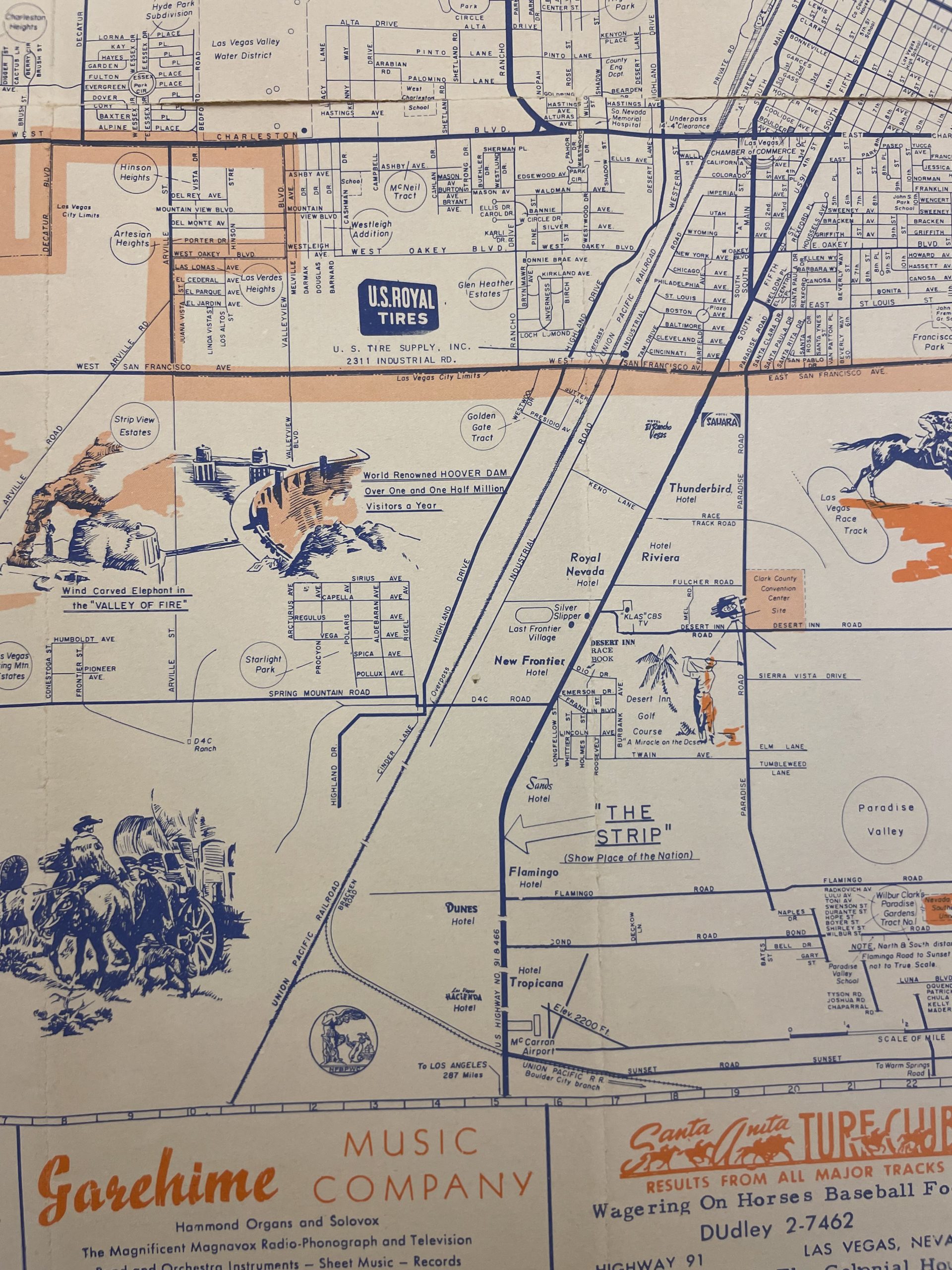 1920×2560 map las vegas nevada state museum las vegas from www.lasvegasnvmuseum.org
  736×602 antique world map original map world from www.pinterest.com
  570×402 vintage map national geographic map from www.etsy.com