
A map of 1950 offers a compelling snapshot of a world undergoing dramatic transformation in the wake of World War II. It reveals a geopolitical landscape heavily influenced by the emerging Cold War, decolonization movements, and the rise of new superpowers.
One of the most striking features of a 1950 map is the pronounced presence of colonial empires. While the seeds of their dismantling had been sown, empires like the British, French, Belgian, and Portuguese still controlled vast territories across Africa, Asia, and Oceania. The British Empire, though weakened, remained a significant force, encompassing territories from Canada and Australia to large portions of Africa and India (which had recently gained independence in 1947). French Indochina, encompassing Vietnam, Laos, and Cambodia, was embroiled in conflict as nationalist movements sought independence. Belgian Congo, a resource-rich territory in Central Africa, remained firmly under Belgian control, and Portugal held onto its colonies in Angola, Mozambique, and Portuguese Guinea (now Guinea-Bissau).
The political map of Europe in 1950 clearly reflected the division between the Eastern and Western Blocs. The Iron Curtain, coined by Winston Churchill, symbolized the ideological and physical barrier separating Soviet-dominated Eastern Europe from the Western democracies. Countries like Poland, Czechoslovakia, Hungary, Romania, and Bulgaria were under the influence of the Soviet Union, often governed by communist regimes. Germany was divided into East and West, a physical manifestation of the Cold War tensions. The Soviet Union itself appeared as a massive landmass, encompassing a vast array of republics and exerting considerable influence on global affairs.
Beyond Europe, the map highlights the nascent stages of the Cold War in Asia. The Korean War, which erupted in June 1950, underscored the potential for proxy conflicts between the United States and the Soviet Union. China, having recently undergone a communist revolution in 1949, was emerging as a significant power in the region, aligned with the Soviet Union. Japan, under American occupation, was beginning its post-war reconstruction and adopting a democratic system.
In the Middle East, the map reflects the complex interplay of nationalism, oil interests, and the emerging Arab-Israeli conflict. The State of Israel had been established in 1948, leading to displacement and ongoing tensions with its Arab neighbors. Oil-rich countries like Saudi Arabia and Iran were becoming increasingly strategically important, attracting the attention of both the United States and the Soviet Union.
Africa, still largely under colonial rule, presents a picture of artificial borders drawn by European powers, often ignoring existing ethnic and cultural divisions. The seeds of future conflicts and struggles for independence were already present. South America, while composed of independent nations, often experienced political instability and economic dependence on foreign powers, particularly the United States.
Examining a map of 1950 provides valuable insight into the forces shaping the modern world. It demonstrates the legacy of colonialism, the intensity of the Cold War, and the emergence of new geopolitical players. It serves as a reminder of how the world has changed and the enduring impact of historical events on the present day.
 1047×763 detailed map united states cameron nunley deviantart from www.deviantart.com
  1300×987 vintage wall map world geographical world atlas from www.etsy.com
  1300×1072 world atlas from ar.inspiredpencil.com
  1489×1051 map vintage united states map thestoryofvintage from www.etsy.com
  1200×884 usa map vintage united states map map vintageinclination from www.etsy.com
  1080×1080 united states map system highways map united states from www.etsy.com
  1061×750 world map vintage map world atlas map thestoryofvintage from www.etsy.com
  1840×1655 map europe xgeograd deviantart from www.deviantart.com
  1484×1073 vintage world map print bright colours political world from www.etsy.com
  7752×3497 map europe isla nawal from islanawal.pages.dev
  2530×1603 world map wanda joscelin from marlineopage.pages.dev
  794×794 united states map system highways map etsy from www.etsy.com
  1024×768 ithaca vintage nystrom world map from foundinithaca.com
  1024×663 highway system transit maps store from transitmap.net
  1000×1000 map north america retromaps from retromaps.bigcartel.com
  1000×653 vintage map national geographic map adasleftoverlove from etsy.com
  1299×758 mapa map world vintage atlas wiele plakatow mapami from www.posters.pl
  1500×843 world map hammond great framing from www.etsy.com
  3000×2564 original political economic map north america architonic from www.architonic.com
  1500×1079 world map large world wall map world political map from www.etsy.com
  2000×1592 vintage map europe from vintage.express
  1500×1020 antique world map world british commonwealth etsy from www.etsy.com
  1500×1066 usa map original vintage picture map fun from etsy.com
 /cdn.vox-cdn.com/uploads/chorus_image/image/61210035/Screen_20Shot_202015-08-21_20at_207.42.14_20PM.0.0.1449888889.0.jpeg) 1200×800 gorgeous map nyc full detail whimsy curbed ny from ny.curbed.com
1200×800 gorgeous map nyc full detail whimsy curbed ny from ny.curbed.com  2342×1991 map europe retromaps from retromaps.bigcartel.com
 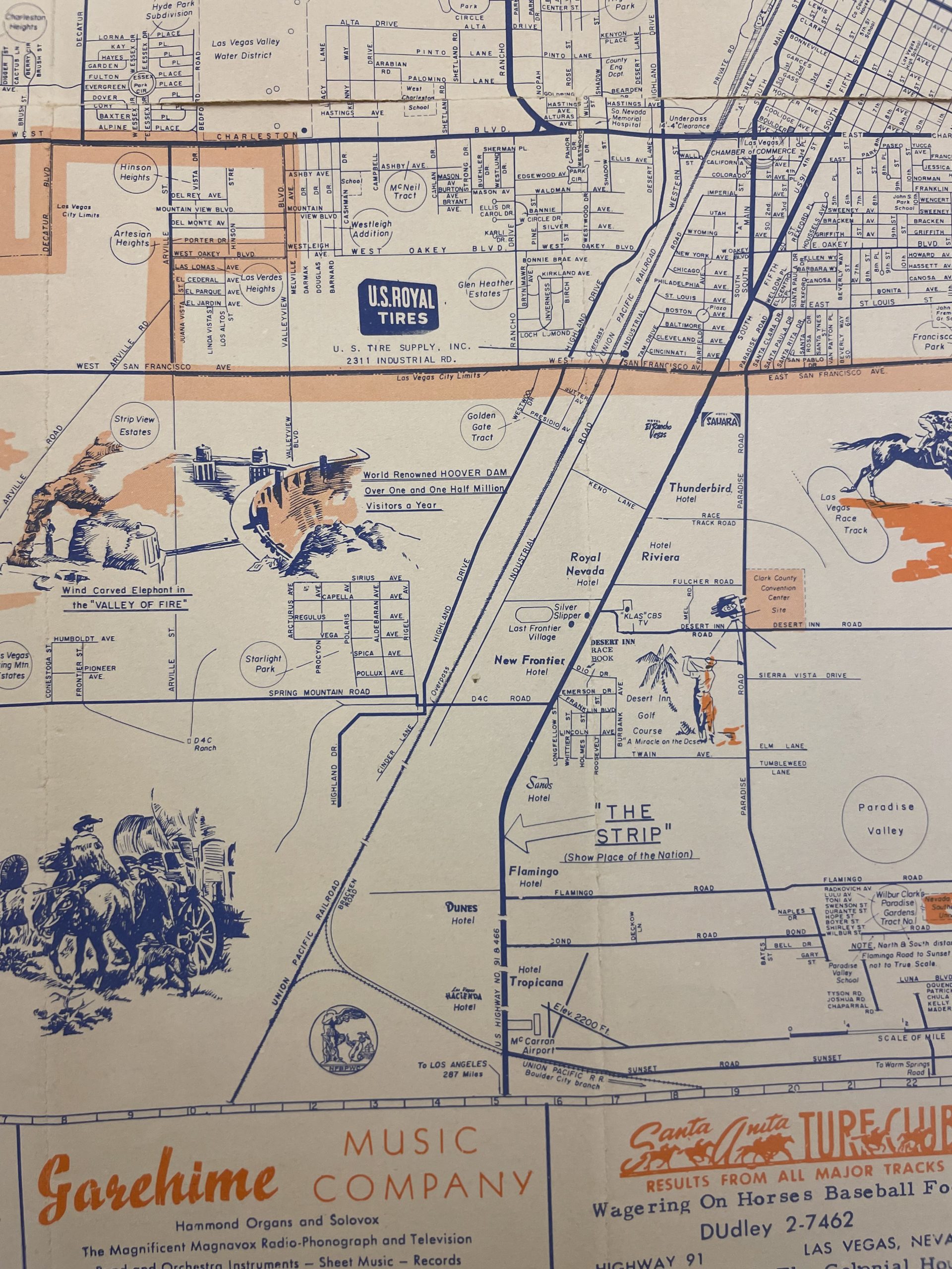 1920×2560 map las vegas nevada state museum las vegas from www.lasvegasnvmuseum.org
  736×602 antique world map original map world from www.pinterest.com
  570×402 vintage map national geographic map from www.etsy.com