
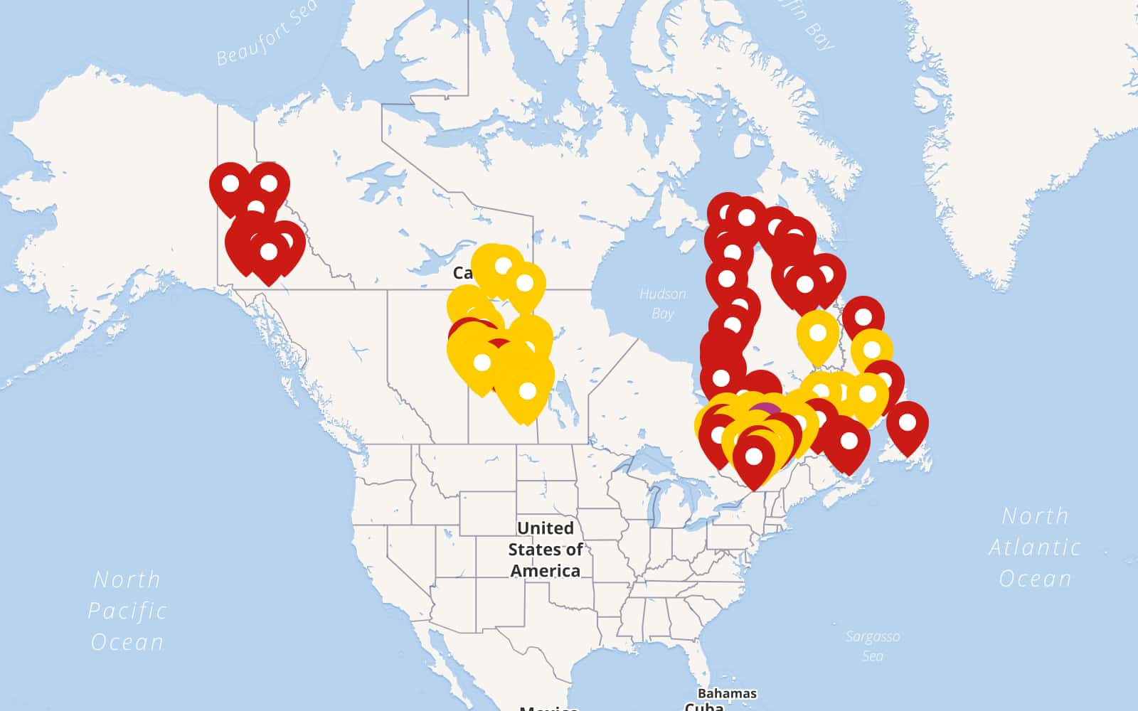
Canada’s history is inextricably linked to its Indigenous peoples, and the legacy of that relationship is visible, in part, through the map of Aboriginal reserves that dot the country. These reserves, officially termed “Indian reserves” under the Indian Act, represent parcels of land set aside for the exclusive use and benefit of First Nations communities. Understanding their location, purpose, and historical context is crucial for comprehending the complex issues surrounding Indigenous rights, land claims, and reconciliation in Canada. The map itself reveals a geographically uneven distribution of reserves. They are concentrated in certain provinces and regions, often reflecting historical patterns of treaty-making, land dispossession, and government policies. Ontario, Manitoba, Saskatchewan, and Alberta, provinces with extensive historical treaty areas, boast a significant number of reserves. Conversely, provinces like Newfoundland and Labrador, which lacked comprehensive treaty agreements, have relatively few. The size of reserves also varies dramatically, ranging from small, isolated parcels to larger tracts of land. This variation is often determined by the specific treaty agreements or agreements governing the creation of the reserve, and the negotiating power of the Indigenous communities involved. The creation of reserves was largely driven by the Canadian government’s policies of assimilation and land acquisition. As European settlers expanded westward, pressure mounted to secure land for agriculture, resource extraction, and infrastructure development. Treaties were negotiated (or imposed) upon First Nations, often with the promise of protection of their traditional ways of life in exchange for vast tracts of land. However, the reality often fell short of these promises. The land allocated for reserves was often of marginal agricultural value, strategically located to isolate Indigenous communities, and insufficient to sustain traditional economies. Furthermore, the Indian Act, enacted in 1876, gave the federal government extensive control over reserve lands, resources, and the lives of First Nations people residing on them. This control included restrictions on land ownership, governance, and the ability to engage in economic activities. The map of Aboriginal reserves also reflects the impact of specific historical events, such as residential schools. Many reserves became sites for these institutions, where Indigenous children were forcibly removed from their families and cultures, leading to devastating intergenerational trauma. The legacy of residential schools continues to affect the social, economic, and health outcomes of Indigenous communities on and off reserves. Today, reserves remain a focal point of Indigenous identity, governance, and self-determination. First Nations governments administer many aspects of life on reserves, including housing, education, healthcare, and economic development. However, challenges persist. Many reserves face issues such as overcrowding, inadequate infrastructure, limited access to services, and high rates of poverty and unemployment. Land claims, both specific and comprehensive, are often tied to the size and location of reserves. Specific claims address grievances related to the fulfillment of treaty obligations or the mismanagement of reserve lands. Comprehensive claims, on the other hand, address Aboriginal title to lands that were never surrendered through treaty. The resolution of these claims can lead to the expansion of reserve lands, the creation of new reserves, or other forms of compensation. In conclusion, the map of Aboriginal reserves in Canada is more than just a geographical representation. It is a historical document, a reflection of past injustices, and a symbol of ongoing efforts towards reconciliation. Understanding the context and significance of these reserves is essential for building a more just and equitable future for all Canadians.
 1056×816 map aboriginal reserves canada from ansvers.com
  1275×788 indian reserves canada map map from deritszalkmaar.nl
  908×783 status nations people canada snapshot census from www150.statcan.gc.ca
  850×717 indigenous peoples day canada map loree sashenka from holliyyettie.pages.dev
  2300×1777 native landca home native land from native-land.ca
  1200×866 heavyweight photo paper quality poster economic map maps from www.walmart.com
  580×444 home assemblyoffirstnationsweeblycom from assemblyoffirstnations.weebly.com
 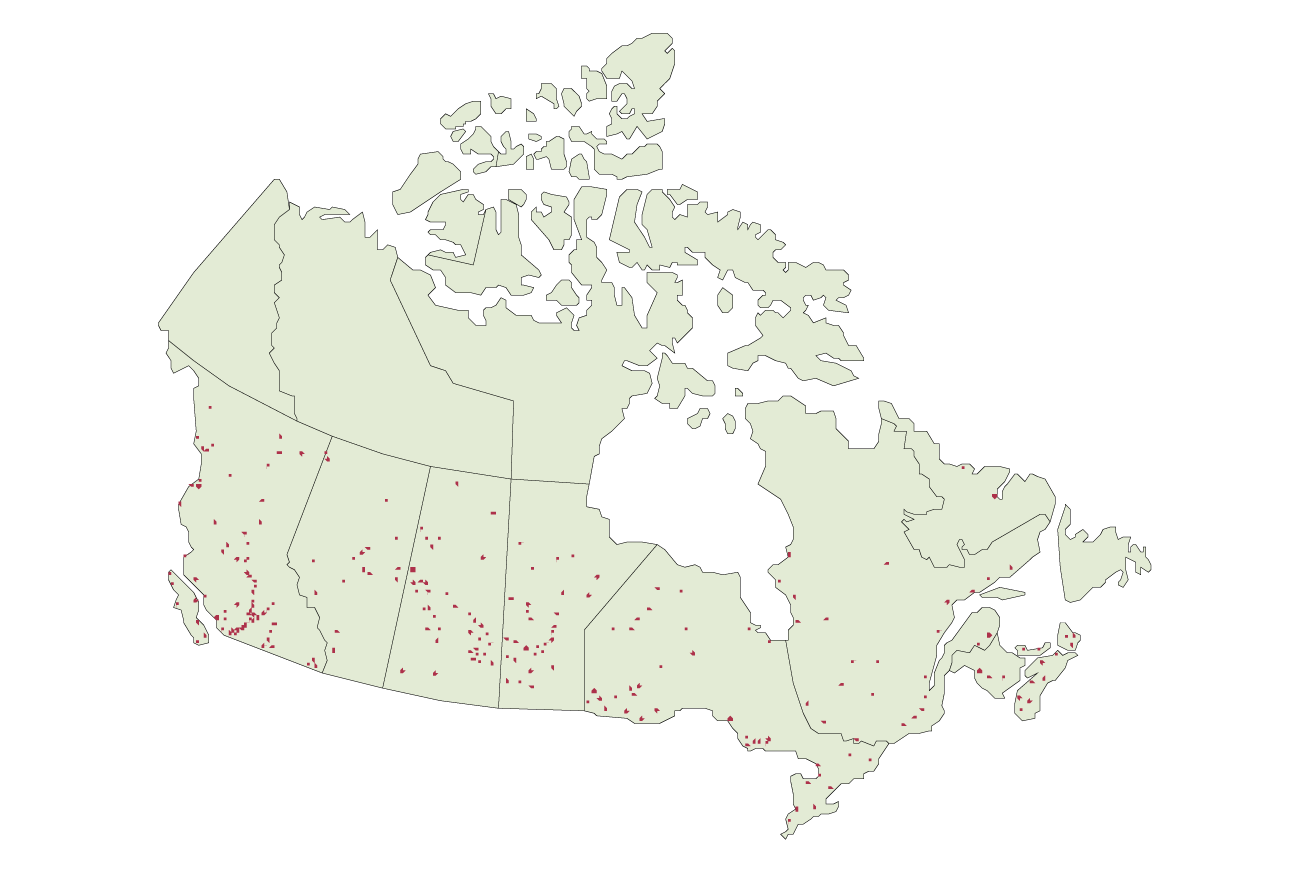 1310×873 reserve indigenous awareness canada training from indigenousawarenesscanada.com
  2200×1700 canada lands natural resources canada from www.nrcan.gc.ca
  424×340 national map canada lands from www.sutori.com
  780×603 map community nations communities from www.researchgate.net
  1310×873 aboriginal title indigenous awareness canada training from indigenousawarenesscanada.com
  602×466 holding fast mapping american indigenous sovereignty introduction from dhintro19.commons.gc.cuny.edu
  1000×786 indigenous dispossession map cjpme foundation from www.cjpmefoundation.org
  788×585 nations canada source map copy from www.researchgate.net
  3551×2791 navigating tapestry indigenous nations guide canadas from nativetribe.info
  1024×575 onlea indigenous canada university alberta from onlea.org
  640×424 canada from www.tribalnationsmaps.com
  2560×1656 indigenous peoples communities government canada from saskintercultural.org
 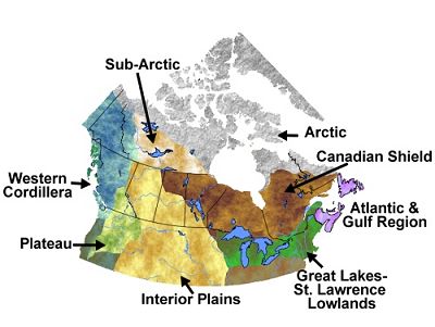 400×301 nation regions from www.aaanativearts.com
 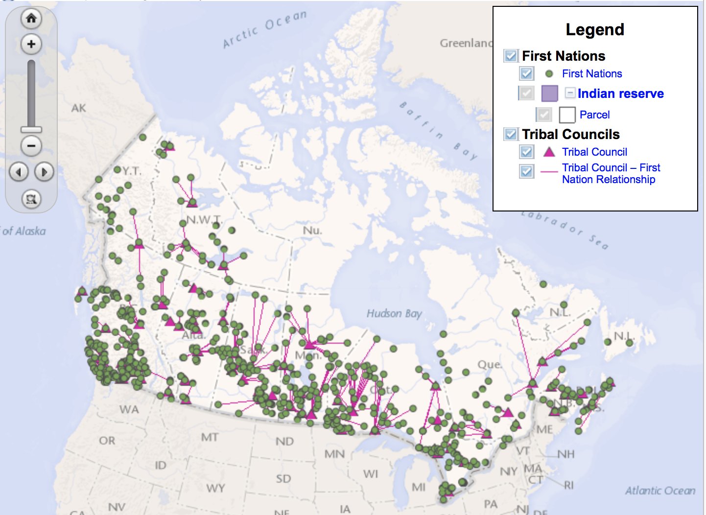 1442×1052 indian reserves canada map wynne karlotte from celestaodion.pages.dev
  1199×789 map nations reserves manitoba concepcion kearns blog from storage.googleapis.com
  1536×1101 chapter standard living european settlement economic from ecampusontario.pressbooks.pub
 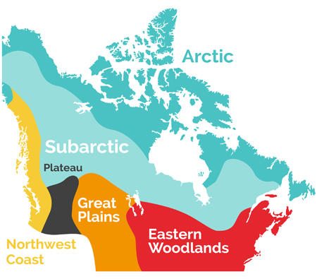 450×395 indigneous people canada guide from thecanadaguide.com
  770×527 map indian tribes canada yahoo canada search results from www.pinterest.ca
  1242×1920 map indigenous communities regions maps web from mapsontheweb.zoom-maps.com
 _without_captions.svg/220px-TRC_in_the_Community_(Map_1)_without_captions.svg.png) 220×146 indigenous peoples canada wikipedia from en.wikipedia.org
220×146 indigenous peoples canada wikipedia from en.wikipedia.org  907×561 ten indigenous people resource extraction from www.parklandinstitute.ca
  1024×863 mapping indigenous languages canada canadian geographic from canadiangeographic.ca
  610×425 canada working future indigenous led conservation from news.mongabay.com
  1600×1000 nations canada map from mavink.com
  751×952 nations maps canada from fnmapscanada.blogspot.com