
Maps of Africa from ancient times are fascinating, though often incomplete and geographically inaccurate by modern standards. They offer invaluable insights into the worldview, knowledge, and priorities of the civilizations that created them. One of the earliest known maps to depict portions of Africa comes from the ancient Greeks. Herodotus, writing in the 5th century BCE, described Africa as a continent bordered by the sea, but his knowledge was largely limited to North Africa, specifically Egypt and Cyrenaica (modern-day Libya). He speculated about the continent’s size and shape, relying on anecdotes and reports from travelers and traders. His map, based on these accounts, placed Libya (Africa) south of Europe and Asia, but the details of its southern and western extent remained unknown. Ptolemy, a Greco-Roman writer, astronomer, and geographer of the 2nd century CE, created a more comprehensive, albeit still flawed, map of the world. His “Geography,” a groundbreaking work, attempted to use mathematical principles and astronomical observations to establish the locations of various places. Ptolemy’s map included a depiction of Africa that extended much further south than previous accounts. He accurately represented the Nile River and its source lakes, though he placed them far too east. He also included details about the Atlas Mountains and the coastal regions of North Africa. However, Ptolemy’s Africa was also characterized by significant inaccuracies. He believed that the Indian Ocean was landlocked in the south, effectively connecting Africa to Asia. This misconception, which persisted for centuries, hindered exploration and understanding of the continent’s true shape. Furthermore, his map of sub-Saharan Africa was largely based on conjecture and hearsay, resulting in a distorted and incomplete picture. The Romans also contributed to the mapping of Africa, primarily focused on the areas they controlled or traded with. Their maps, often created for military or administrative purposes, provided more detailed information about North Africa, including roads, settlements, and resources. The Tabula Peutingeriana, a Roman road map from the 4th century CE, provides a schematic representation of the Roman Empire, including parts of North Africa. Beyond the Greco-Roman world, other cultures possessed their own understanding and mapping traditions related to Africa. In ancient Egypt, maps were primarily focused on the Nile River and its surrounding lands, vital for agriculture and navigation. These maps were often used for land surveying and tax purposes. It’s crucial to remember that these ancient maps reflected the limited knowledge and perspectives of their creators. They were shaped by the geographical constraints of exploration, the biases of the sources of information, and the practical needs of the societies that commissioned them. While inaccurate in many respects by modern standards, they remain valuable historical documents that offer a glimpse into how ancient civilizations perceived and understood the vast and complex continent of Africa. They represent the first steps in a long journey of exploration and mapping that continues to this day.
 1440×1690 antique map africa parchment stock vector illustration from www.dreamstime.com
  1300×1121 artwork historical antique illustrated map showing continent from www.alamy.com
  1592×1200 ancient map africa rare beautiful map fine etsy from www.etsy.com
  1060×902 premium photo ancient medieval map africa frederico de vit from www.freepik.com
  474×381 african map africa map historical maps map from www.pinterest.com
  2089×1861 antique map africa homann heirs sale stdibs from www.1stdibs.com
  1000×719 africa vetus geographicus rare antique maps from www.geographicus.com
  1600×1216 historic map nova descriptio africae matthaus merian vintage from www.pinterest.jp
  970×1390 map africa stock photo alamy from www.alamy.com
  736×981 classical ancient african map premium matte vertical poster home from www.pinterest.com
  1295×1000 map africa ancient world cartography from www.etsy.com
 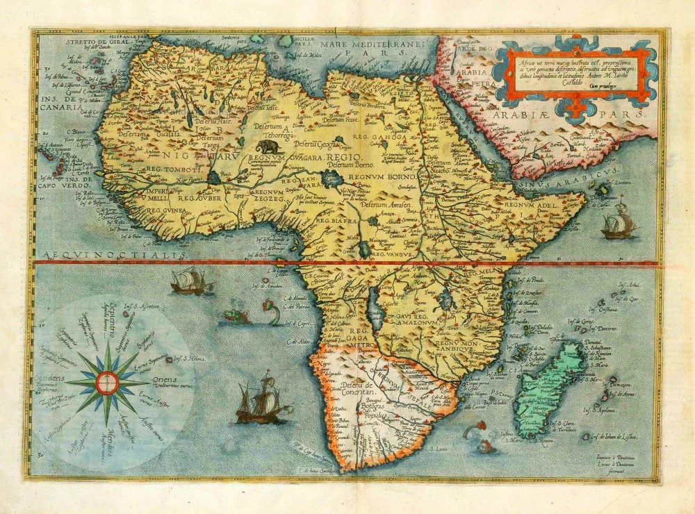 1000×739 antique map africa de jode sanderus antique maps from sanderusmaps.com
  907×1390 africa map res stock photography images alamy from www.alamy.com
  736×565 ancient african map ancient africa biafra african map from www.pinterest.com
  1022×902 bensozia maps africa ancient times from benedante.blogspot.com
  1600×1345 vintage map africa stock photography image from www.dreamstime.com
  1497×1213 map africa full size from www.zonu.com
  2020×1740 africa historical maps perry castaneda map collection ut library from maps.lib.utexas.edu
  1588×1588 ancient map africa rare map beautiful map etsy singapore from www.etsy.com
  500×346 facts ancient africa fact file from factfile.org
  1000×667 ancient geographic map africa names countries stock from stock.adobe.com
  1067×1690 ancient geographic map africa stock photo image from dreamstime.com
  1600×1228 ancient map africa arabian peninsula stock photo image from www.dreamstime.com
  1421×1123 earliest map africa from earthlymission.com
  1024×767 oldest map africa tourist map from www.ahappyfamily.nl
  3000×2873 antique maps africa ancient maps africa map map vrogueco from www.vrogue.co
  1400×1738 historical map africa nations project from www.nationsonline.org
  1446×1843 ancient african empires map metal gaia from metal-gaia.com
  736×602 map africa antique maps african map ancient maps from in.pinterest.com
  1600×1829 ancient african states map medievaldiscovery age seridio red from www.pinterest.co.uk
  1390×1198 find maps africa link httpswwwetsy from www.pinterest.es
  1098×800 map africa ancient times from learninglibyoung.z19.web.core.windows.net
 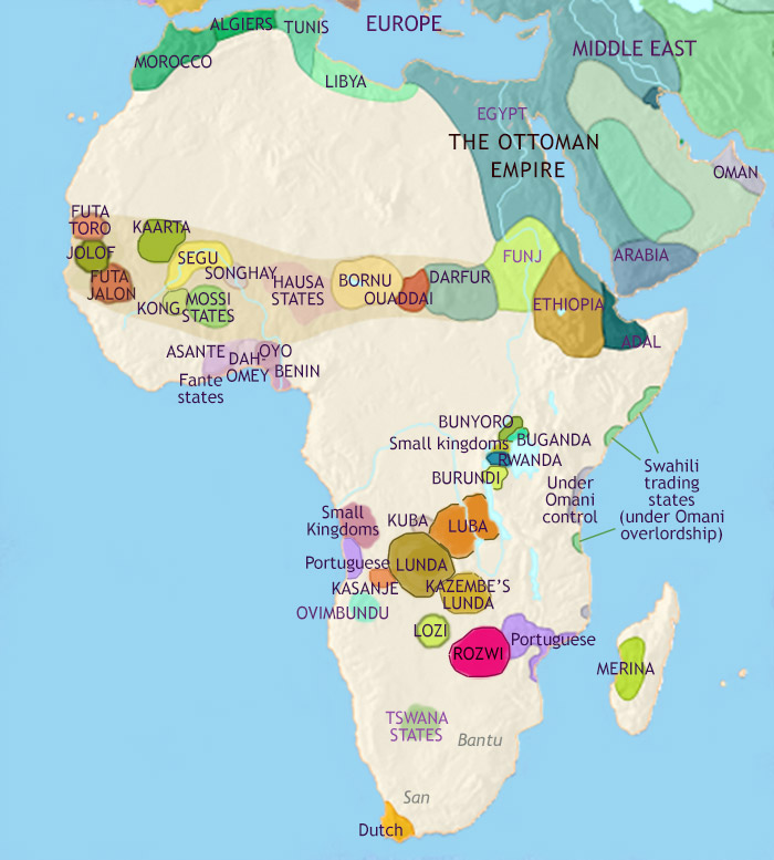 700×777 map africa bce independent kingdom kush timemaps from timemaps.com
  1300×1167 vintage map africa africa ancient modern stock photo alamy from www.alamy.com