
Connecticut, despite its small size, plays a vital role in the Northeastern transportation network. While it doesn’t boast a major international hub like JFK or Logan, the state features a network of airports catering to various needs, from commercial flights to general aviation. A map of airports in Connecticut reveals a distribution designed to serve different regions and types of air travel. Bradley International Airport (BDL) in Windsor Locks, just north of Hartford, is the state’s largest and busiest airport. Positioned centrally, it provides a comprehensive range of domestic and international flights. Major airlines operate from Bradley, connecting Connecticut to cities across the United States, Canada, and even Europe. The airport offers modern amenities, ample parking, and convenient ground transportation options, making it the primary gateway for air travelers in the state. Smaller commercial airports exist, though they offer more limited services. Tweed New Haven Airport (HVN) in New Haven has seen renewed growth, with Avelo Airlines establishing a significant presence, offering direct flights to a number of popular destinations. These smaller airports serve a vital function by providing convenient travel options for residents in specific regions and reducing the need to travel to larger, more distant airports. Beyond commercial travel, Connecticut has a substantial network of general aviation airports. These smaller facilities cater to private pilots, flight schools, charter services, and corporate aviation. Airports like Waterbury-Oxford Airport (OXC) and Groton-New London Airport (GON) are essential for recreational flying, flight training, and business travel within the region. They offer services such as aircraft maintenance, fueling, and hangar rentals. A map of Connecticut airports also highlights the presence of specialized facilities like Hartford-Brainard Airport (HFD). This airport primarily serves general aviation and corporate aircraft, offering convenient access to the state capital. Its proximity to Hartford makes it a popular choice for business travelers and private pilots visiting the city. The geographic distribution of airports across Connecticut is noteworthy. Airports are strategically located to serve major population centers and industrial areas. The concentration of airports in the central and southwestern portions of the state reflects the higher population density and economic activity in these regions. Coastal airports, like Groton-New London, support maritime activities and provide access to the Long Island Sound. Looking at a map, one can observe the relative distances between airports and the accessibility they provide to different parts of the state. This network enhances connectivity within Connecticut and to the wider world. The coordinated operation of these airports is crucial for ensuring efficient air travel and supporting the state’s economy. By understanding the location and function of each airport, travelers can make informed decisions about their travel plans, choosing the airport that best suits their needs in terms of location, services, and flight options. The map, therefore, is not just a geographic representation, but a valuable tool for understanding Connecticut’s air transportation infrastructure.
 800×594 connecticut airports map airports connecticut from www.mapsofworld.com
  920×730 connecticut airport map connecticut airports from www.connecticut-map.org
  454×306 ct airport transportation from automotiveluxury.com
  418×328 ct limo services ct airport limo service automotive luxury from automotiveluxury.com
  1000×744 connecticut map map connecticut map ct from www.mapsofworld.com
  730×510 map ct airports from ansvers.com
  3840×3840 hartford bradley airport map bdl terminal guide from www.ifly.com
  1920×1547 closest airport greenwich ct stanton from stantonhouseinn.com
  1024×466 united states connecticut gis data shapefile kml csv geojson from www.igismap.com
  1400×958 airports connecticut map america map from rosaliezkathe.pages.dev
 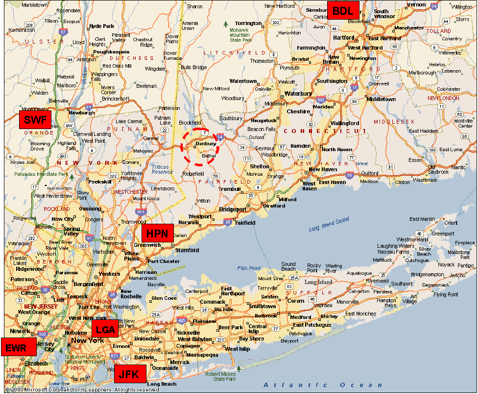 976×803 location directions nmr testing laboratory from process-nmr.com
  2400×1856 terminal map hvn southern connecticut from flytweed.com
  565×407 connecticut from www.ctmeetings.org
  1000×743 connecticut map map connecticut from www.pinterest.com.mx
  629×981 airport closest connecticut tommy lotts blog from storage.googleapis.com
  1300×1033 connecticut airport map res stock photography images alamy from www.alamy.com
  800×550 places visit connecticut connecticut travel map from www.mapsofworld.com
  84×120 categoryairports connecticut wikimedia commons from commons.wikimedia.org
  837×668 navigating heart connecticut comprehensive guide kent from chilecitymap.pages.dev
  1024×777 map airports printable map from mapofusprintable.com
  474×292 airports usa map from www.lahistoriaconmapas.com
  1552×2048 connecticut state map adobe illustrator vector format detailed from www.mapresources.com
  768×481 list airports connecticut countryaahcom from www.countryaah.com
  696×366 find airports connecticut hartford haven from aviatechchannel.com
  520×744 danbury municipal airport from www.airports-worldwide.com
  640×480 connecticut airports map tronlite innovations from tronlite.medion.com
  750×489 bradley international airport from www.stowit.com
  1920×1280 connecticut airports map top airports connecticut from worldmapwithcountries.net
  64×64 connecticut airports map major airports connecticut from www.mapsofworld.com