
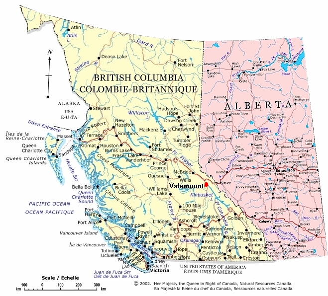
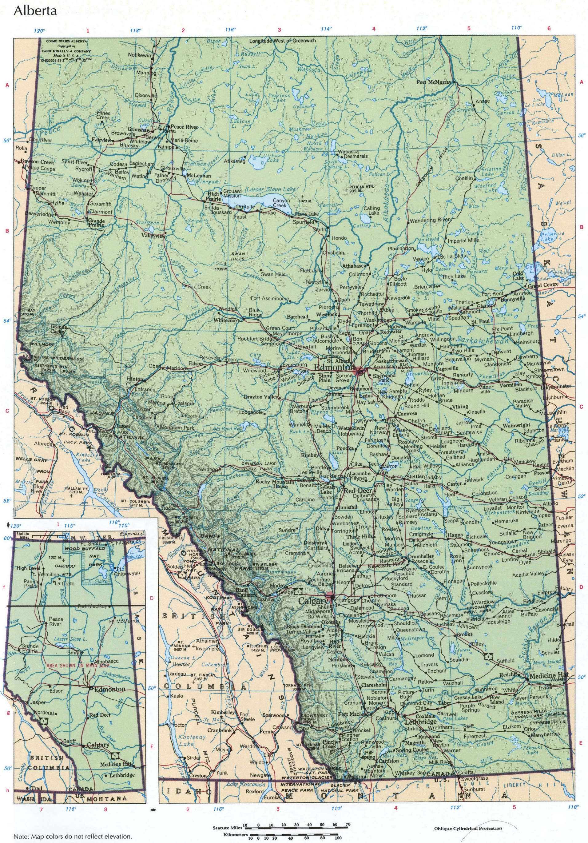
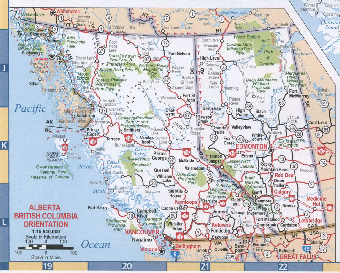
Alberta and British Columbia, two of Canada’s westernmost provinces, share a significant border and distinct geographical features, both of which shape their economies, cultures, and histories.
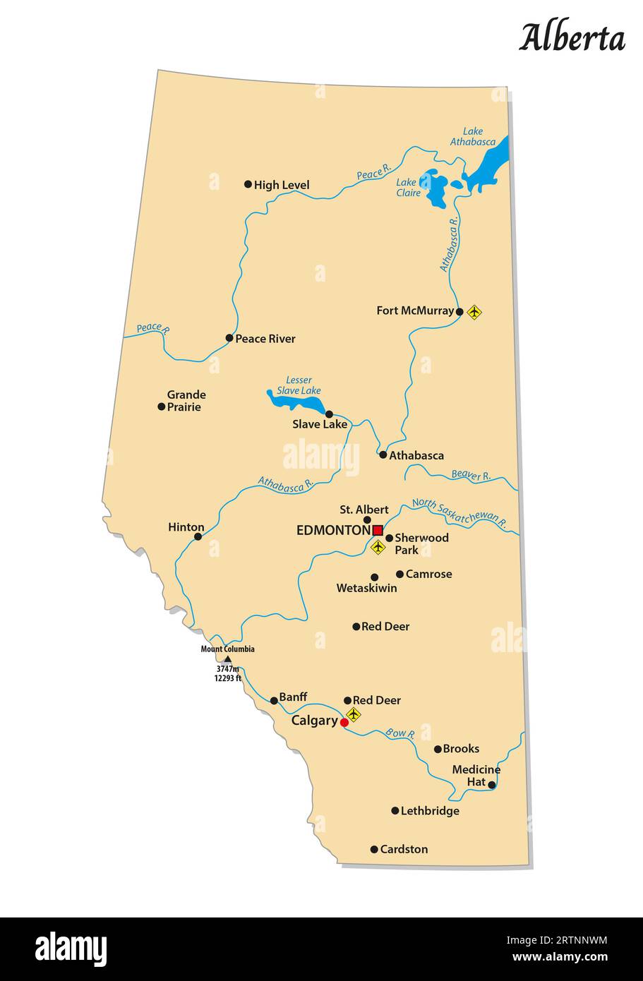
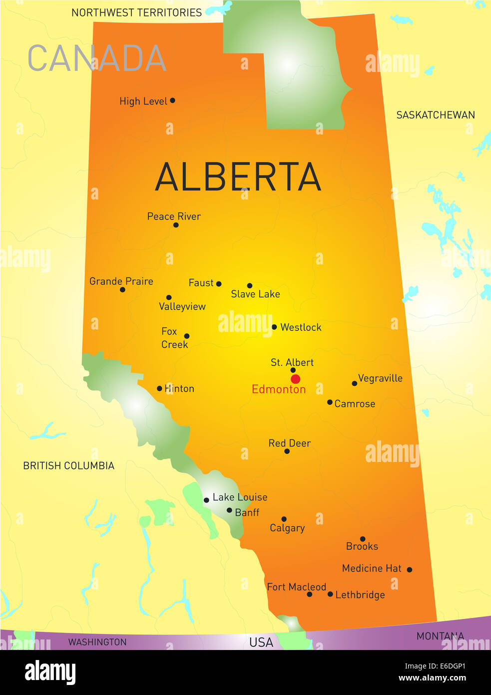
Alberta’s Landscape: Alberta is dominated by the prairies in the south and central regions, gradually transitioning to foothills and the majestic Rocky Mountains in the west. The vast prairies are characterized by rolling grasslands, fertile farmland, and oil-rich sedimentary basins. Major cities like Calgary and Edmonton are situated on these plains. The western boundary of Alberta is dramatically defined by the towering peaks of the Canadian Rockies. These mountains are not only a stunning visual landmark but also a critical source of fresh water and a hub for tourism and recreation. The Athabasca oil sands, a controversial but economically vital resource, are located in northeastern Alberta.
British Columbia’s Diverse Terrain: British Columbia is renowned for its diverse and rugged terrain. Unlike Alberta’s relatively flat prairies, BC is primarily mountainous. The Coast Mountains run along the Pacific coastline, creating dramatic fjords, islands, and rainforests. Further inland, the interior plateaus and mountain ranges such as the Selkirks and Monashees are characterized by vast forests, deep valleys, and numerous lakes. Southern BC is home to fertile valleys ideal for agriculture, like the Okanagan Valley, famous for its fruit orchards and wineries. Vancouver, BC’s largest city, sits on the southwestern coast, benefitting from a mild climate and access to both ocean and mountains.
The Shared Border: The border between Alberta and BC largely follows the continental divide along the Rocky Mountains. This natural boundary has historically presented challenges for transportation and communication but has also fostered a unique cultural and economic exchange. The border region is sparsely populated, dominated by forests, mountain peaks, and protected areas. Important mountain passes, such as the Kicking Horse Pass, have played crucial roles in facilitating trade and transportation between the two provinces.
Rivers and Waterways: Both provinces are rich in rivers and lakes. The Fraser River, entirely within BC, is a major waterway for salmon spawning and resource transportation. Alberta is drained by rivers like the Athabasca and North Saskatchewan, which flow into the Arctic Ocean via the Mackenzie River system. The Columbia River, originating in BC, flows south into the United States. These waterways are vital for agriculture, hydroelectric power generation, and transportation.
Ecological Zones: Alberta and BC encompass a wide range of ecological zones, from grasslands and boreal forests to temperate rainforests and alpine meadows. The Rockies act as a significant barrier, influencing climate patterns and creating distinct ecosystems on either side. BC’s coastal rainforests are unique due to their high rainfall and biodiversity, while Alberta’s prairies support diverse wildlife populations. The conservation of these diverse ecosystems is a shared responsibility for both provinces.
In conclusion, the map of Alberta and BC showcases two distinct but interconnected provinces, their geography shaping their economies, cultures, and environmental concerns. From Alberta’s prairies to BC’s mountains and coastlines, the landscape dictates the opportunities and challenges faced by the people who call these provinces home.
 1915×2092 alberta bc mapfree printable map alberta british columbia from us-atlas.com
  1324×2067 large detailed map alberta cities towns from ontheworldmap.com
  659×596 time zone map alberta bc united states map from wvcwinterswijk.nl
  490×705 political map alberta canada from www.canadamaps.info
  595×801 alberta political map from www.yellowmaps.com
  1912×2741 map alberta canada cities towns printable map alberta from pacific-map.com
  1694×1800 alberta maps facts world atlas vrogueco from www.vrogue.co
  1083×871 map british columbia alberta map bc alberta interstate road from pacific-map.com
  474×417 map alberta bc annora melisent from theresitaoagnes.pages.dev
  2045×3338 alberta province map digital creative force from www.creativeforce.com
  1320×1442 alberta maps facts world atlas from www.worldatlas.com
  1200×1486 physical map alberta from www.freeworldmaps.net
  1915×2609 alberta regions map map canada city geography from fity.club
  911×1390 map calgary res stock photography images alamy from www.alamy.com
  1300×1200 map columbia alberta canada from fity.club
  1915×2154 british columbia map from ar.inspiredpencil.com
  846×811 road map alberta bc ansley melloney from karleenonina.pages.dev
 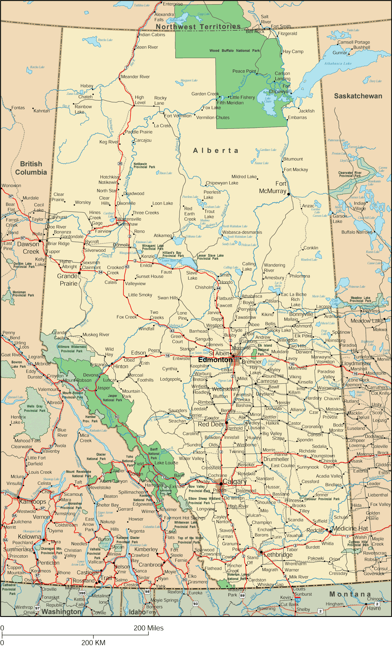 1344×2217 alberta map detailed map alberta canada from www.canada-maps.org
  1118×1600 mount columbia mountain alberta canada britannica from www.britannica.com
  716×1024 physical map alberta physical map alberta canada showing from www.gettyimages.in
 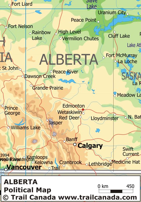 490×703 physical map alberta canada from www.canadamaps.info
  1500×1174 vintage map british columbia alberta canada from www.etsy.com
  1290×1600 highway map alberta images images vectorielles de from www.shutterstock.com
  508×671 map canada city geography from map-canada.blogspot.com
  1171×1755 alberta canada alberta travel alberta canada canada map from www.pinterest.cl
  482×612 map alberta premium high res pictures getty images from www.gettyimages.co.uk
  2019×1893 detailed map british columbia from utpaqp.edu.pe
  750×604 bc alberta map gadgets from gadgets2018blog.blogspot.com
 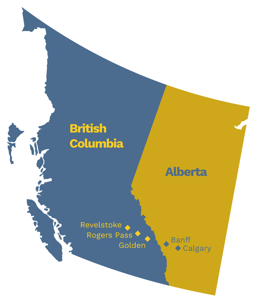 850×1000 map bc alberta vally isahella from simonazdaria.pages.dev
  1320×1442 british columbia maps facts world atlas from www.worldatlas.com
  783×1021 detailed map alberta modern wogofjog deviantart from www.deviantart.com
  983×1390 map alberta canada remembering letters postcards from www.gf-planen.de