
Centennial Hills is a large, master-planned community located in the northwest part of Las Vegas, Nevada. Its map reveals a well-organized and relatively newer suburban landscape, characterized by a mix of residential areas, commercial centers, parks, and schools, all interconnected by a grid-like street system.
Looking at a map of Centennial Hills, the primary feature is its expansive residential layout. Housing options are diverse, ranging from single-family homes on spacious lots to gated communities offering enhanced security and amenities, as well as townhomes and apartments for those seeking a more compact living space. The streets within these residential areas are typically wide and clean, often featuring sidewalks and landscaping, creating a pleasant and pedestrian-friendly environment.
Commercial areas are strategically positioned, often clustered along major arterial roads like Durango Drive, Ann Road, and Centennial Parkway. These commercial hubs provide convenient access to essential services, including grocery stores, pharmacies, banks, restaurants, and retail shops. The map reveals a well-balanced mix of national chains and locally owned businesses, catering to the everyday needs of the residents.
Green spaces are a prominent feature of Centennial Hills. The map showcases several large parks, such as Centennial Hills Park, a sprawling recreational area with walking trails, playgrounds, sports fields, and an amphitheater. Smaller neighborhood parks are interspersed throughout the residential areas, providing easily accessible green spaces for residents to relax, exercise, and socialize. These parks are crucial for maintaining a high quality of life within the community.
The educational infrastructure is also evident on the map, with numerous elementary, middle, and high schools serving the diverse needs of the student population. These schools are generally well-maintained and conveniently located within the residential areas, minimizing commute times for students and their families.
Transportation within Centennial Hills is largely car-dependent, as indicated by the extensive network of roads. However, the Regional Transportation Commission of Southern Nevada (RTC) provides bus service throughout the area, offering public transportation options for those who prefer not to drive. The map highlights the bus routes and stops, indicating the accessibility of public transportation.
Beyond the immediate boundaries of Centennial Hills, the map reveals its proximity to other key areas of Las Vegas. To the south lies the rest of the Las Vegas Valley, offering access to the Strip, downtown Las Vegas, and other major attractions. To the north and west, the landscape transitions to open desert and mountains, providing opportunities for outdoor recreation, such as hiking, camping, and off-roading. Floyd Lamb Park at Tule Springs, a historical and recreational area, sits nearby, adding to the area’s appeal.
In conclusion, the map of Centennial Hills depicts a well-planned and thriving suburban community with a strong emphasis on residential living, convenient access to commercial services, ample green spaces, and quality educational facilities. Its location on the northwestern edge of Las Vegas provides a balance between urban amenities and access to the natural beauty of the surrounding desert landscape.
 3360×1705 world map political map world nations project from www.nationsonline.org
  4405×2649 buy world maps international political wall map mapworld from www.mapworld.com.au
  1390×1003 map world continents countries ezilon maps from www.ezilon.com
  474×325 world map wallpapers pictures images from www.hdwallpaper.nu
  2560×1470 world map countries gis geography from gisgeography.com
  1300×929 kort political world map bykort og verdenskort plakater pa vaeggen from www.europosters.dk
  4000×2487 world wall map greenwich time map shop ae from mungfali.com
  2200×1605 usa map maps united states america from ontheworldmap.com
  3000×2121 united states map road worldometer from www.worldometers.info
  1300×929 mapa detailed political world map mapas de ciudades mapas mundiales from www.posters.es
  2560×1600 photo globe atlas background clipart global globe from jooinn.com
  1127×2000 google maps bekommt diesem jahr viele neuerungen from stadt-bremerhaven.de
 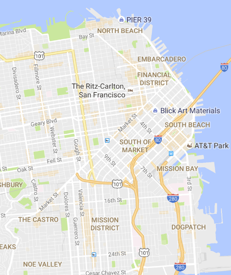 461×549 google updates google maps highlight areas interest time from time.com
  650×414 introduccion la busqueda de lugares en mapa arcgis pro documentacion from pro.arcgis.com
  1000×600 google maps android users share location from www.thehansindia.com
  800×465 digital maps railways roads daniel bowen from www.danielbowen.com
  400×400 map maps google from blushempo.blogspot.com
  1148×934 affiliated resources group arg contact from www.affiliatedresourcesgroup.com
  545×200 google loosens limits pricing maps api nieman journalism lab from www.niemanlab.org
  1140×867 google map wallpaper wallpapersafari from wallpapersafari.com
  326×192 world maps library complete resources google maps png from allmapslibrary.blogspot.com
  380×285 google map from bimalmedical.com