
The map of Africa in 1960 looked dramatically different from the modern one. It was a period of intense transition, witnessing the dismantling of colonial empires and the rise of newly independent nations. While the seeds of Pan-Africanism had been sown decades earlier, 1960 became the “Year of Africa,” with a wave of independence movements sweeping across the continent.
Prior to 1960, most of Africa was carved into colonies and protectorates controlled by European powers. France dominated West and Equatorial Africa, with vast territories like French West Africa (comprising modern-day Senegal, Mali, Ivory Coast, etc.) and French Equatorial Africa (including Gabon, Congo-Brazzaville, and Chad). The United Kingdom held significant sway in East and Southern Africa, controlling countries like Nigeria, Ghana (formerly Gold Coast, independent since 1957), Kenya, Uganda, Tanganyika (later Tanzania), and Southern Rhodesia (later Zimbabwe, though still under white minority rule). Belgium controlled the vast and resource-rich Belgian Congo (later the Democratic Republic of the Congo). Portugal held onto its colonies of Angola, Mozambique, Guinea-Bissau, and Cape Verde. Spain had a smaller presence with territories like Spanish Sahara (Western Sahara) and Spanish Guinea (Equatorial Guinea).
The most striking feature of the 1960 map was the prevalence of these European names and administrative divisions. Borders were often arbitrarily drawn with little regard for ethnic, linguistic, or cultural boundaries, a legacy that continues to contribute to political instability in some regions today. These colonial borders frequently cut through tribal lands, creating tensions that would later erupt into conflicts.
The year 1960 saw a seismic shift in this landscape. Countries like Nigeria, Senegal, Ivory Coast, Cameroon, Togo, Benin (Dahomey), Niger, Burkina Faso (Upper Volta), Chad, Central African Republic, Congo-Brazzaville, Democratic Republic of the Congo (Congo-Kinshasa), Gabon, Somalia, and Madagascar all gained their independence. Each new nation faced the monumental task of building its own identity, institutions, and economies while navigating the complexities of the Cold War and post-colonial relationships with their former rulers.
However, the transition wasn’t always peaceful or complete. Algeria, still a French colony in 1960, was embroiled in a bloody war for independence. Southern Rhodesia remained under the control of a white minority government, denying the majority black population their rights. South Africa continued to enforce its apartheid regime, a system of racial segregation and discrimination. Portuguese colonies like Angola and Mozambique were gearing up for long and arduous liberation struggles.
The map of Africa in 1960, therefore, represented a moment of hope and potential, yet also a reminder of the enduring legacies of colonialism. While many nations celebrated their newfound sovereignty, the challenges of nation-building, economic development, and social cohesion remained immense. The seeds of future conflicts and collaborations were sown in this pivotal year, shaping the course of the continent for decades to come.
 4410×4360 large detail administrative divisions map africa marks from www.mapsland.com
  1361×1789 africa wall map national geographic mapsales from www.mapsales.com
  700×777 map africa ce mid century history timemaps from timemaps.com
  3000×2250 map africa united states map from www.wvcwinterswijk.nl
  1280×1066 map africa from ansvers.com
  1300×1381 africa map res stock photography images alamy from www.alamy.com
 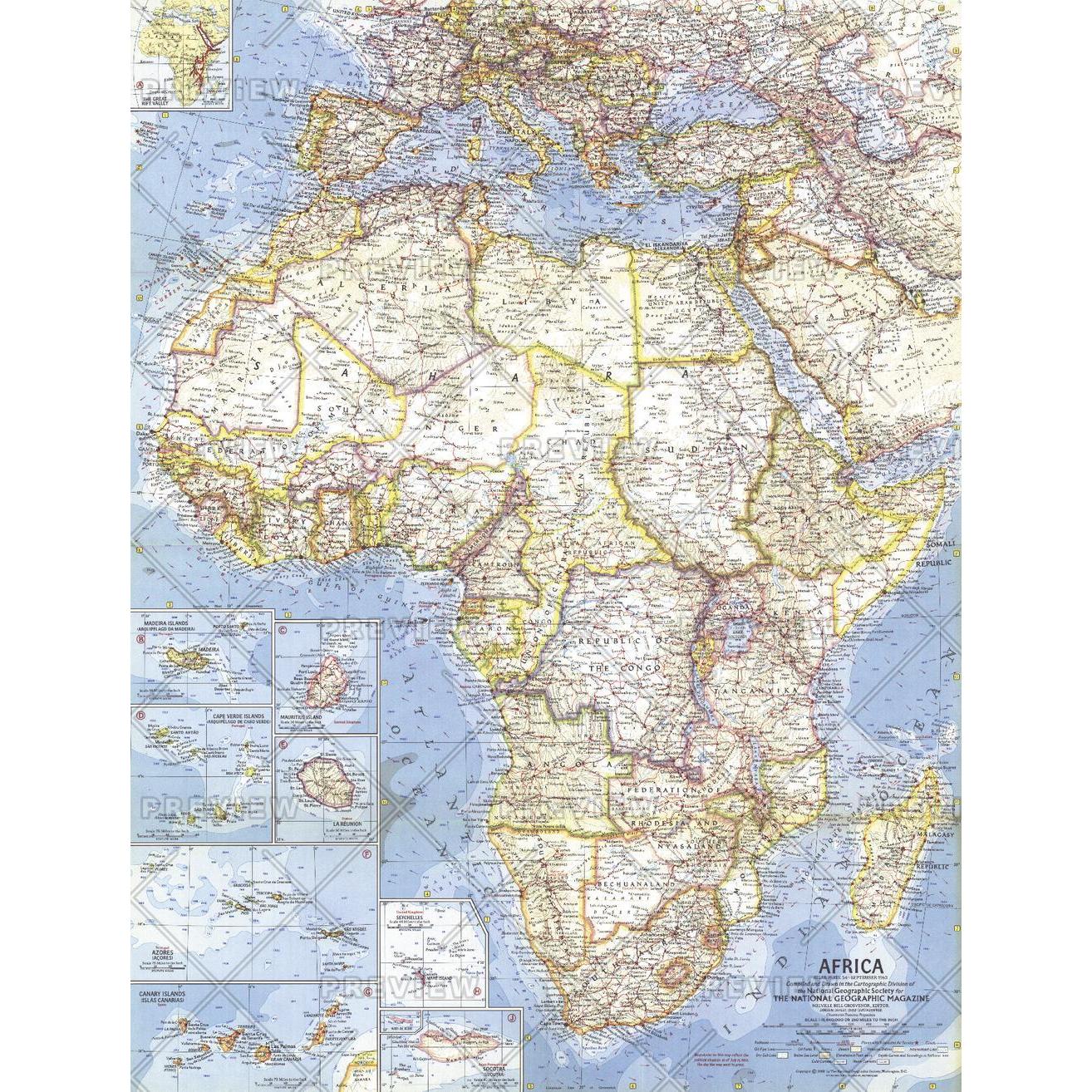 1314×1314 africa published national geographic map shop from www.mapshop.com
  1080×1080 africa map vintage map africa administrative divisions from www.etsy.com
  900×620 year africa ends historical atlas saharan africa from omniatlas.com
  1004×1390 political map africa res stock photography images alamy from www.alamy.com
  3000×2564 original map africa political architonic from www.architonic.com
  5000×5209 africa political map april comparison maps africa from www.reddit.com
  965×1390 africa administrative divisions map res stock photography from www.alamy.com
  2562×2159 relief map africa retromaps from retromaps.bigcartel.com
  900×620 year africa begins historical atlas saharan africa from omniatlas.com
  600×715 african political status students britannica kids homework from kids.britannica.com
  2095×1923 rand mcnally map africa showing mali federation saharan from www.reddit.com
  3585×2657 happening africa eileen reed blog from exobwunof.blob.core.windows.net
  875×914 map africa gustafmaps deviantart from www.deviantart.com
  900×620 congo crisis historical atlas saharan africa july from omniatlas.com
  500×500 africa published map from dash4it.co.uk
  500×555 relief map africa retromaps images finder from www.aiophotoz.com
  1280×1071 retromaps from retromaps.tumblr.com
  1159×1500 redrawing map year africa magazine issuu from issuu.com
  1004×1390 political map africa ca stock photo alamy from www.alamy.com
  1793×2377 map africa showing colonial developments from www.reddit.com
  2048×1360 african independence map geocurrents from www.geocurrents.info
  575×596 retro year africa from sixtiesretro.blogspot.com
  484×252 july history omniatlas from omniatlas.com
  590×581 drake memorial library year african independence from drakelibrary.blogspot.com
  1557×1600 atlas colonization decolonization africa vivid maps from vividmaps.com
  7077×5237 mapping year african independence sounding maps from 3.143.160.160