
Costa Rica, a jewel of Central America, boasts a network of airports facilitating travel to its diverse landscapes, from lush rainforests to pristine beaches. Understanding the location of these airports is crucial for planning your trip and optimizing your travel time within the country.
Major International Airports
- Juan Santamaría International Airport (SJO): Located near San José (approximately 20 minutes by car), SJO is the country’s largest and busiest airport. It serves as the primary gateway for international flights from North America, Europe, and South America. It offers a wide range of services, including car rentals, duty-free shops, restaurants, and currency exchange.
- Daniel Oduber Quirós International Airport (LIR): Situated near Liberia in the Guanacaste province, LIR is the second-largest international airport. It’s the preferred entry point for travelers heading to the popular beaches and resorts of the Pacific coast, like Tamarindo, Playas del Coco, and the Papagayo Peninsula. It’s a modern airport with amenities catering to tourists.
Domestic Airports
Costa Rica’s smaller, domestic airports offer convenient access to more remote areas, often saving significant travel time compared to ground transportation. These airports are served by local airlines like Sansa and Aerobell.
- Tobías Bolaños International Airport (SYQ): Located in Pavas, a suburb of San José, this airport primarily handles domestic flights and private charters. It’s often used as an alternative to SJO for domestic travel.
- La Managua Airport (XQP): Serves the Quepos and Manuel Antonio area, known for its stunning national park. It’s a very popular route for tourists.
- Golfito Airport (GLF): Located in the southern zone of Costa Rica, near the Osa Peninsula.
- Puerto Jiménez Airport (PJM): Another access point to the Osa Peninsula, offering proximity to Corcovado National Park.
- Drake Bay Airport (DRK): Provides access to the remote Drake Bay area on the Osa Peninsula, renowned for its biodiversity and ecotourism.
- Tortuguero Airport (TTQ): Located in the northern Caribbean coast, near Tortuguero National Park, known for its turtle nesting sites.
Using an Airport Map
When planning your trip, consult a map of Costa Rican airports to visualize their locations in relation to your desired destinations. Online maps, like Google Maps, can be helpful. Also consider checking the websites of domestic airlines for route maps and flight schedules. Be aware that flight schedules to smaller airports can be subject to change depending on weather conditions and demand.
Factors to Consider
- Proximity to Destinations: Choose the airport closest to your final destination to minimize travel time.
- Flight Availability: Check flight schedules and availability for both international and domestic flights.
- Transportation Options: Research transportation options from the airport to your hotel or other accommodation, including taxis, rental cars, and shuttle services.
- Airport Services: Consider the amenities available at each airport, such as restaurants, shops, and car rental agencies.
By understanding the geography of Costa Rican airports, you can create a more efficient and enjoyable travel experience.
 474×355 costa rica airports map eco lodges from ecolodgesanywhere.com
 800×567 airports costa rica costa rica airports map from www.mapsofworld.com
 600×557 costa rica air routes from costa-rica-guide.com
 1000×930 airports costa rica from www.entercostarica.com
 680×340 costa rica maps navigate paradise ease from www.entercostarica.com
 735×1102 costa rica airport maps costa rica airport map costa rica from www.pinterest.com
 474×428 costa rica maps map trip costa rica from costarica.org
 474×355 costa rica map airports fayre jenilee from michaelawreeba.pages.dev
 695×948 private jet charter costa rica from onlyprivatejets.com
 736×736 map costa rica airport maps costa rica costa rica airports from www.pinterest.com
 500×550 costa rica airports flash from www.tradebit.com
 768×993 airports costa rica airport fly costa rica from ilovepuravida.com
 1412×1084 airports costa rica map maps model from mapingonlinesource.blogspot.com
 690×600 costa rica airports map kristi earl blog from storage.googleapis.com
 474×437 aeropuertos de costa rica bandera de costa rica from www.banderadecostarica.net
 457×442 map costa rica airports from ansvers.com
 740×703 costa rica domestic airlines visit costa rica from www.govisitcostarica.com
 1412×1096 large physical map costa rica roads cities airports from www.mapsland.com
 900×600 costa rica airports map united states map vrogueco from www.vrogue.co
 220×124 costa rica map from www.vacationscostarica.com
 329×355 cr airports mapsofnet from mapsof.net
 1920×1626 san jose airport costa rica from localcostarica.com
 560×542 airports aerodromes costa rica cobano airport from www.cobanoairport.com
 1360×1060 detailed political administrative map costa rica roads from www.vidiani.com
 474×335 airports costa rica map svg vector map airports from www.worldmaphd.com
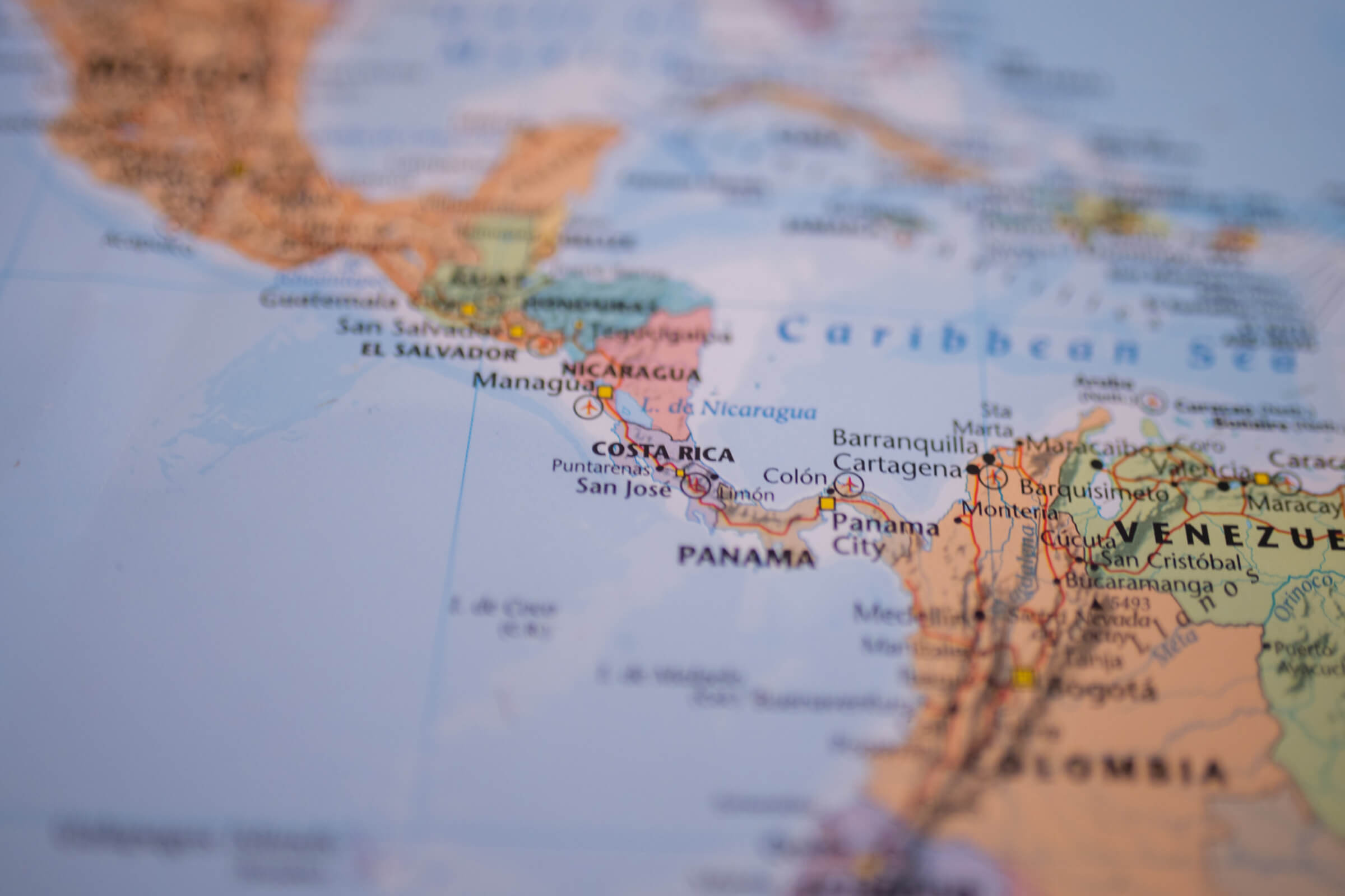 2400×1600 costa rican airports gateway tropical paradise from localcostarica.com
 848×550 costa rica map airports province travel excellence from www.travelexcellence.com