
Albemarle, North Carolina, is a city situated in Stanly County. Understanding its layout requires a look at a map which reveals several key features. Main thoroughfares such as US Highway 52 and NC Highway 24/27 carve through the city, providing crucial connections to surrounding areas. Highway 52 runs generally north-south, linking Albemarle to larger cities like Salisbury to the north and Wadesboro to the south. NC 24/27, running east-west, connects Albemarle to Troy and Carthage to the east and Charlotte to the west. These routes are essential for commerce, travel, and regional access. The downtown area of Albemarle is generally centered around Main Street. A map will show that it’s a relatively compact area, featuring government buildings such as the Stanly County Courthouse, local businesses, restaurants, and cultural attractions. The proximity of these resources contributes to downtown Albemarle’s role as the city’s hub. Residential areas radiate outward from the downtown core. Older neighborhoods, characterized by established trees and varying architectural styles, are closer to the city center. Newer developments, featuring more modern housing and planned communities, are found on the outskirts of Albemarle. A map will illustrate the distribution of these residential zones, providing insight into the city’s growth patterns. Parks and recreational areas are scattered throughout Albemarle. Prominent examples include City Lake Park, offering amenities such as walking trails, picnic areas, and water access. Other smaller parks are strategically located within neighborhoods, offering green spaces for residents. Albemarle’s proximity to Badin Lake is a significant geographic feature. While not directly within the city limits, Badin Lake is a short drive away and offers a wide range of recreational opportunities, including boating, fishing, and swimming. The map highlights the close relationship between Albemarle and this important natural resource. Industrial areas are generally located along major transportation routes, particularly near the railway lines that pass through Albemarle. These areas host manufacturing facilities, warehouses, and other businesses involved in the production and distribution of goods. The map will indicate the concentration of these industrial zones and their relationship to transportation infrastructure. Educational institutions, including public schools and Stanly Community College, are strategically located throughout the city. The distribution of these institutions reflects the city’s commitment to providing educational opportunities to its residents. A detailed map of Albemarle will also reveal the presence of smaller streets, neighborhood boundaries, and the locations of specific landmarks and points of interest. By studying such a map, one can gain a comprehensive understanding of Albemarle’s layout, its key features, and the relationships between different areas of the city.
 612×612 albemarle north carolina street map from www.landsat.com
  300×300 albemarle nc from www.bestplaces.net
  422×359 zip code albemarle north carolina profile homes apartments from www.city-data.com
  422×359 albemarle north carolina nc profile population maps from www.city-data.com
  600×371 albemarle weather forecast from www.weather-forecast.com
  338×338 albemarle north carolina area map from www.thedirectory.org
  600×900 retro map albemarle north carolina vintage street map stock from www.dreamstime.com
  300×300 places albemarle metro area north carolina from www.bestplaces.net
  800×487 albemarle nc usa location map albemarle north carolina from www.whereig.com
  422×359 north albemarle township stanly county north carolina nc detailed from www.city-data.com
  445×309 fishing maps showing albemarle sound fishing maps albemarle from www.pinterest.com
  1300×956 albemarle north carolina map res stock photography images alamy from www.alamy.com
  641×641 aerial photography map albemarle nc north carolina from www.landsat.com
  264×264 places albemarle north carolina from www.bestplaces.net
  1494×1494 albemarle stanly county nc wall map map shop from www.mapshop.com
 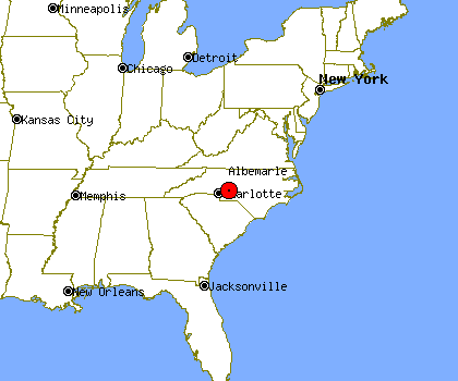 420×350 albemarle profile albemarle nc population crime map from www.idcide.com
  4000×2400 albemarle sound north carolina map coastal inlet facts britannica from www.britannica.com
  1076×1390 albemarle north carolina map cut stock images pictures alamy from www.alamy.com
  1075×1390 map albemarle res stock photography images alamy from www.alamy.com
  1124×907 meet albemarle loop slow enjoy north carolina from cruisingodyssey.com
  545×575 albemarle county nc from www.carolana.com
  946×450 map albemarle nc north carolina from townmapsusa.com
  1588×1065 map albemarle river sound north carolina etsy from www.etsy.com
  625×365 walking trails albemarle north carolina alltrails from www.alltrails.com
  1000×718 map albemarle region from www.waywelivednc.com
  1062×1390 albemarle north carolina map high resolution stock photography from www.alamy.com
  640×480 albemarle nc geographic facts maps mapsofnet from www.mapsof.net
  720×449 cross albemarle sound north carolina trips discovery from tripsofdiscovery.com